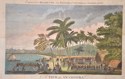
OZ0533
|
Webber
|
A View at Anamooka. |
1784 |
220 |
|
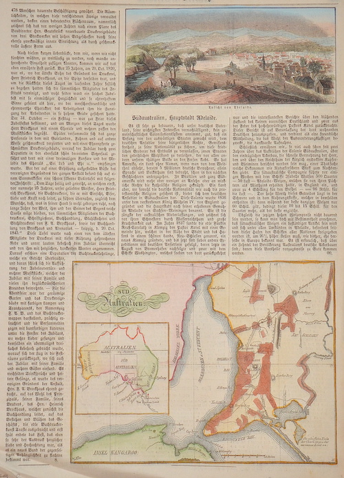
OZ0526
|
Anonymus
|
Süd Australien. |
1880 |
230 |
|
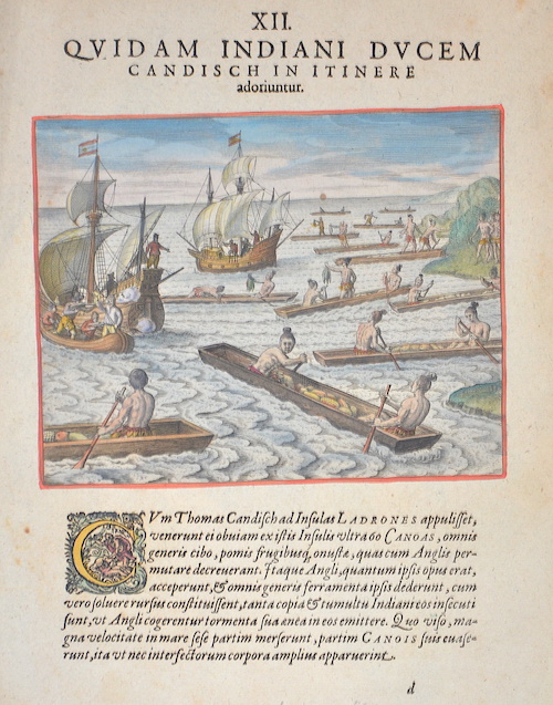
OZ0525
|
Bry, de
|
XII. Quidam Indiani ducem candisch in itinere adoriuntur. |
1598 |
1260 |
|
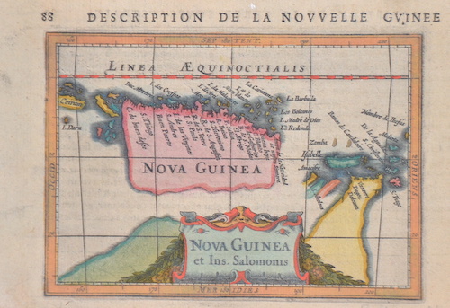
OZ0527
|
Bertius
|
Description de la Nouvelle Guinee 88 |
1620 |
190 |
|
OZ0512
|
Johnston
|
Australia by a. K. John Ston, F. R. G. S. |
1840 |
470 |
|
OZ0513
|
Delaune
|
Australie |
1889 |
260 |
|
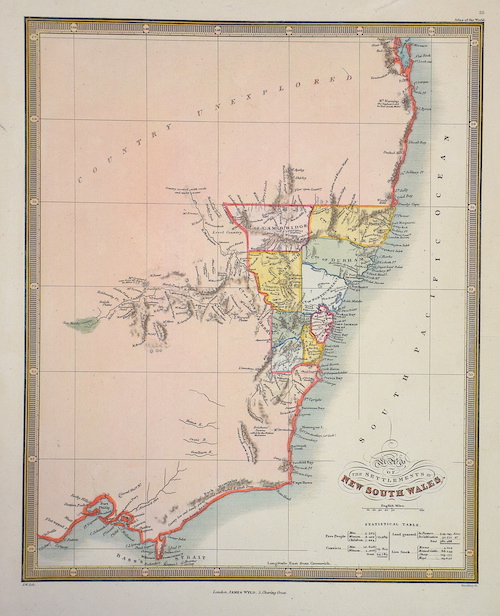
OZ0514
|
Wyld
|
Map of the Settlements in New South Wales. |
1890 |
90 |
|
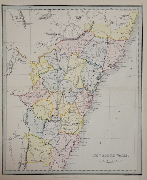
OZ0515
|
Findlay
|
New South Wales. |
1853 |
90 |
|
OZ0483
|
Colton/Hutchins
|
Oceanica, Map Nr. 22 Coltons Common School Geography |
1850 |
230 |
|
OZ0487
|
Hogg
|
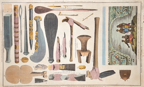
Various Articles of Otaheite and New Zealand. |
1780 |
230 |
|
OZ0492
|
Cassini
|
Il Grado di un Circolo mas. Della supersice terrestre comprende circa / Globo Terrestre II |
1790 |
2730 |
|
OZ0466
|
Bartholomew
|
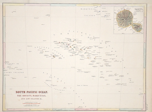
South Pacific Ocean. The Society, Marquesas, and Low Islands / Tahiti. |
1870 |
130 |
|
OZ0469
|
Bénard
|
Havre D’Ohamaneno a Ulietea |
1800 |
90 |
|
OZ0470
|
Bénard
|
Baye de Matavai a Otahiti / Havre d’Owharre dans L’isle d’Huaheine |
1800 |
90 |
|
OZ0471
|
Bonne
|
Nlle Galles Meridle ou Cote Orientale de la Nouvelle Hollande.. |
1780 |
290 |
|
OZ0467
|
Bonne
|
Isles de la Reine Charlotte. |
1780 |
150 |
|
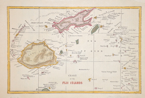
OZ0468
|
Anonymus
|
Chart of the Fiji Islands |
1860 |
150 |
|
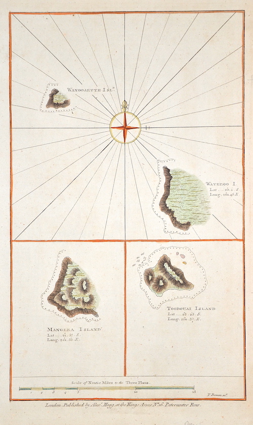
OZ0472
|
Bowen
|
Wanooaette Isld. Mangeea Island. Toobouai Island |
1784 |
160 |
|
OZ0473
|
Bonne
|
no title-New Zeeland |
1780 |
320 |
|
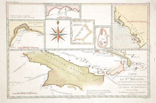
OZ0474
|
Bonne
|
Carte des Decouvertes du Capite Carteret dans la Nlle. Bretagne,.. |
1780 |
230 |
|
OZ0444
|
Anonymus
|
Pacific Ocean |
1830 |
130 |
|
OZ0445
|
Robinson/Neele
|
Australien und Polynesien. |
1789 |
260 |
|
OZ0447
|
Perthes
|
Polynesien und der Grosse Ocean |
1869 |
260 |
|
OZ0448
|
Kunstanstalt Hildburghausen
|
Neueste Karte von Australien Nach den bessten Quellen entworfen und gezeichnet vom Hauptm. Radefeld. 1846. |
1846 |
260 |
|
OZ0449
|
Stülpnagel, von
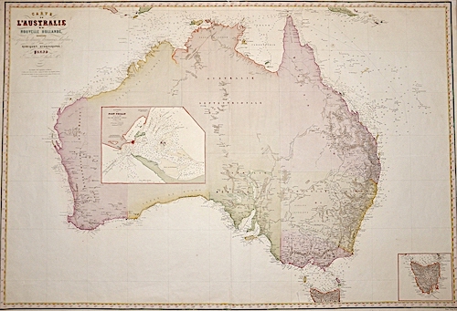
|
Australien nach Krusenster u. A. in Mercators Projection entworfen u. gez. V. Ad. St. 1826 |
1826 |
300 |
|
OZ0450
|
Stülpnagel, von
|
Australien und Polynesien in Mercator Projection. |
1858 |
240 |
|
OZ0451
|
Geographisches Institut
|
Australien entworfen und gezeichnet von C. F. Weiland. |
1823 |
280 |
|
OZ0452
|
Anonymus
|
Australien |
1780 |
370 |
|
OZ0453
|
Doyen
|
Carta dell Oceania 1857. |
1857 |
200 |
|
OZ0454
|
Anonymus
|
Pacific Ocean, on Mercators Projection. |
1800 |
130 |
|
OZ0455
|
Perthes
|
Australien und Polynesien. |
1860 |
100 |
|
OZ0456
|
Schmidt
|
Australien |
1850 |
210 |
|
OZ0457
|
Anonymus
|
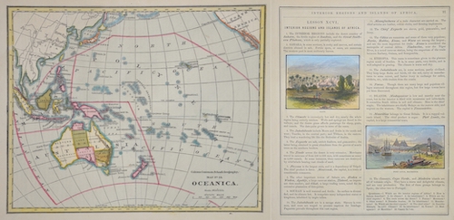
Oceanica |
1800 |
230 |
|
OZ0458
|
Anonymus
|
Oceania |
1760 |
210 |
|
OZ0459
|
Walch
|
Karte von Australien |
1828 |
260 |
|
OZ0460
|
Mallet
|
Nouvelle Guinee et Carpentarie / Des Terres Australes. Figure CVIII. 247 |
1750 |
160 |
|
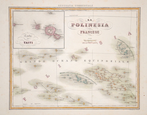
OZ0461
|
Bonatti
|
La Polinesia Francese |
1800 |
270 |
|
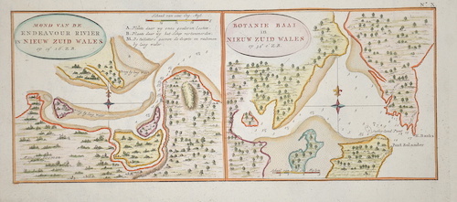
OZ0463
|
Anonymus
|
Mond van de endeavour rivier in Nieuw Zuid Wales / Botanie Baai in Nieuw Zuid Wales |
1760 |
210 |
|
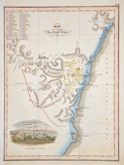
OZ0464
|
Lizars
|
Map of Part of New South Wales |
1820 |
230 |
|
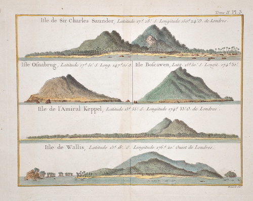
OZ0465
|
Bénard
|
Isle de Sir Charles Saunder,../ Isle Osnabrug,../ Isle Boscawen,../ Isle de l’Amiral Keppel,../ Isle de Wallis,.. |
1774 |
210 |
|
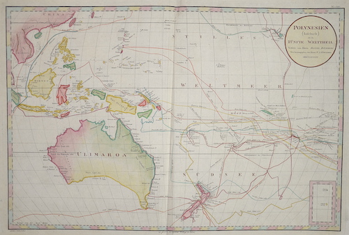
OZ0431
|
Schraembl
|
Polynesien (Inselwelt) oder der fünfte Welttheil Verfasst von Herrn Daniel Djurberg |
1789 |
1260 |
|
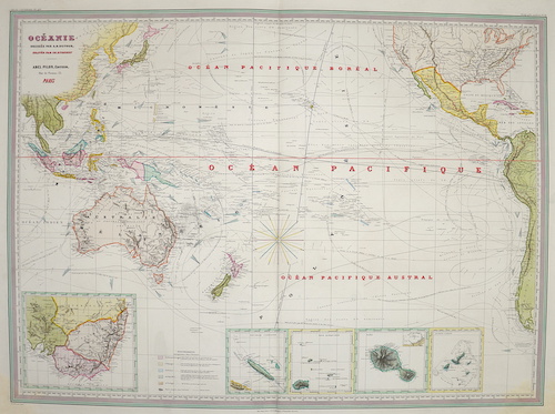
OZ0432
|
Dyonnet
|
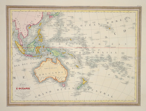
Oceanie dressee par A. H. Dufour. |
1800 |
880 |
|
OZ0433
|
Stucchi
|
Oceanica o quinta parte des Mondo |
1856 |
890 |
|
OZ0434
|
Songteller
|
Oceanie. / Australie |
1850 |
370 |
|
OZ0435
|
Tardieu
|
Carte de la Partie de l’Ocean Pacifique parcourue par la Corvette l’Astrolabe |
1833 |
440 |
|
OZ0436
|
Anonymus
|
Oceania o Australasia y Polynesia. |
1820 |
400 |
|
OZ0437
|
Berthelemier
|
Oceanie Bibliotheque universelle des Voyages |
1820 |
740 |
|
OZ0438
|
Kratz und Poppey
|
Australien / Weimar, Geographisches Institut |
1820 |
610 |
|
OZ0439
|
Marzolla
|
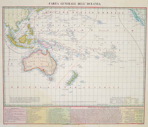
Carta Generale dell’Oceania |
1841 |
580 |
|
OZ0440
|
Giraldon-Bovinet
|
Carte de l’Oceanie Par L. Vivien, Geographe. |
1824 |
250 |
|
OZ0441
|
Naymiller
|
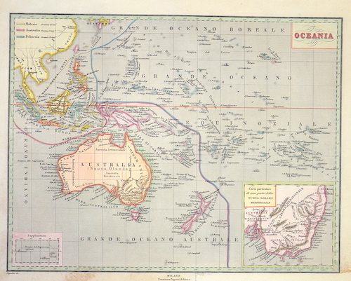
Oceania / Carta particolare di una parte della Nuova Galles Meridionale |
1820 |
370 |
|
OZ0442
|
Hogg
|
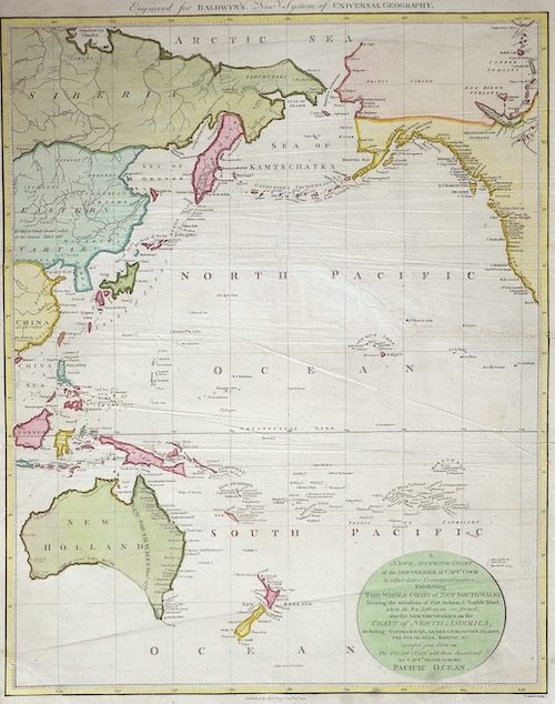
A New & Accurate Chart of the Discoveries of Captn Cook & other Later Circumnavigators |
1794 |
290 |
|
OZ0443
|
Anonymus
|
Oceanica or Oceania. |
1830 |
170 |
|
OZ0428
|
Philipson
|
Australia |
1830 |
440 |
|
OZ0418
|
Palmer
|
Chart of Discoveries made in the South Pacific Ocean in his Majesty’s ship resolution Under the Command of Captain Cook. 1774. |
1776 |
370 |
|
OZ0422
|
Giraldon
|
Océanique. |
1790 |
260 |
|
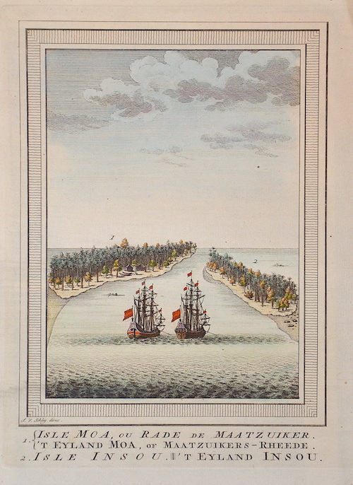
OZ0417
|
Schley, van der
|
1. Isle Moa, ou Rade de Maatzuiker. ‘T Eyland Moa, of Maatzuikers-Rheede. 2. Isle Insou. ‘T Eyland Insou. |
1760 |
130 |
|
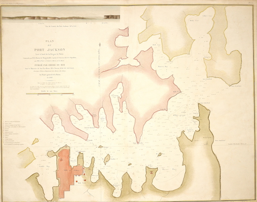
OZ0420
|
Tardieu
|
Plan du Port Jackson. Levé à bord de la Frégate la Thétis |
1828 |
2310 |
|
OZ0415
|
Bonne
|
Esquisse de la Baye Dusky, dans la Nouvelle Zéelande. |
1787 |
320 |
|
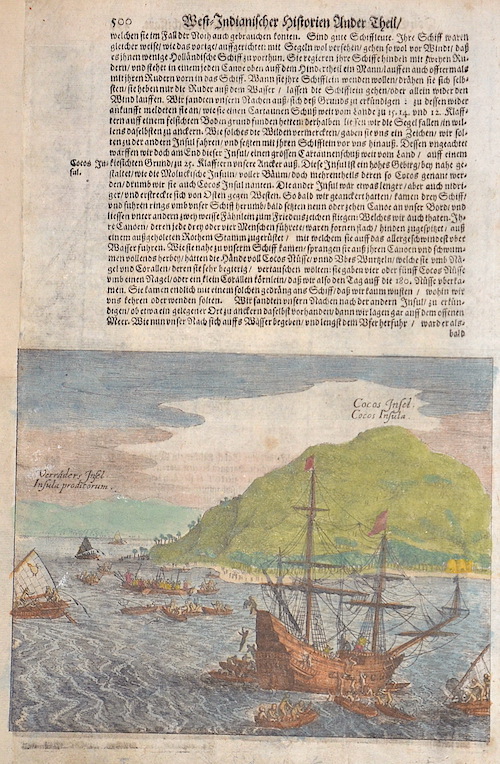
OZ0419
|
Bry, de - Merian
|
500 West-Indianischer Historien Ander Theil / Cocos Insel. Cocos Insula. |
1631 |
340 |
|
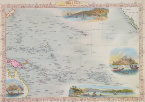
OZ0423
|
Rapkin
|
Polynesia, or Islands in the Pacific ocean. |
1850 |
300 |
|
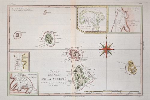
OZ0403
|
Bonne
|
Carte des Isles de la Societe. |
1780 |
250 |
|
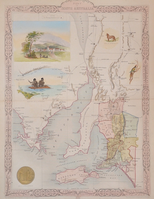
OZ0411
|
Tallis
|
Part of South Australia |
1850 |
340 |
|
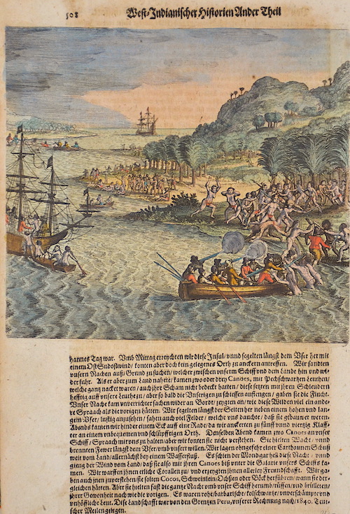
OZ0395
|
Bry, de - Merian
|
West-Indianischer Hostorien Ander Theil 508 |
1629 |
250 |
|
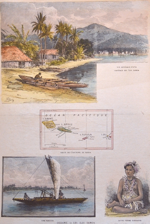
OZ0405
|
Anonymus
|
Oceanie. – Les Iles Samoa |
1880 |
200 |
|
OZ0394
|
Benard
|
Carte des Isles des Amis. |
1780 |
130 |
|
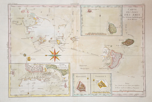
OZ0402
|
Bonne
|
Carte des Isles des Amis. |
1780 |
230 |
|
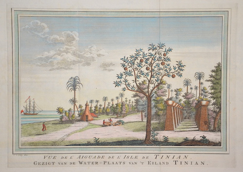
OZ0408
|
Schley, van der
|
Vue de l’Aiguade de l’Ile de Tinian. Gedzigt van de Water-Plaats van’t Eiland Tinian. |
1760 |
130 |
|
OZ0387
|
Hogg
|
A chart od Captain Carteres discoveries at new Britain with parat of Captain Cooks passage thro Endeavour Streights.. |
1700 |
230 |
|
OZ0413
|
Migeon
|
La France. Inde, Archipels Taiti, Touamotou Marquises, Nouvelle Caledonie, Taiti |
1830 |
130 |
|
OZ0344
|
Vandermaelen
|
Partie de l´Archel. De la Nlle. Irlande No. 25 |
1825 |
170 |
|
OZ0345
|
Vandermaelen
|
Iles des amis No.47 |
1825 |
190 |
|
OZ0341
|
Anonymus
|
Mapa de la Océania |
1830 |
140 |
|
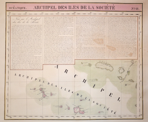
OZ0325
|
Vandermaelen
|
Archipel de Iles de la Societe No.42 |
1825 |
230 |
|
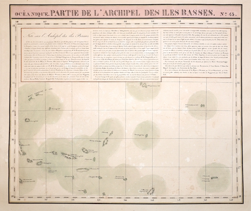
OZ0328
|
Vandermaelen
|
Partie de l´Archipel des Iles Basses. No.43 |
1825 |
230 |
|
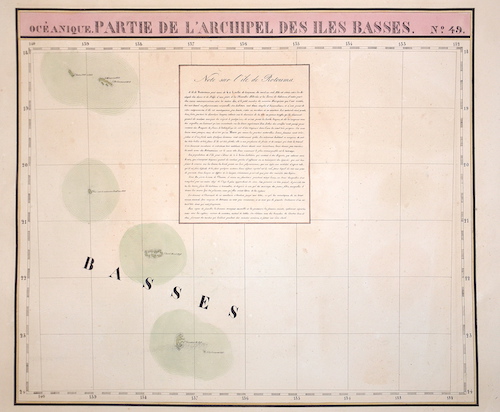
OZ0329
|
Vandermaelen
|
Partie de l´archipel des Iles Basses. N.49 |
1825 |
200 |
|
OZ0326
|
Vandermaelen
|
Iles Fidji No.40 |
1825 |
340 |
|
OZ0327
|
Vandermaelen
|
Iles du Scaborough No.16 |
1825 |
200 |
|
OZ0332
|
Vandermaelen
|
Partie des Isles Salomon. N.32 |
1835 |
260 |
|
OZ0334
|
Vandermaelen
|
Archipel de Mendana. N.34 |
1825 |
200 |
|
OZ0337
|
Vandermaelen
|
Iles Radak et Iles Ralik. N.10 |
1825 |
200 |
|
OZ0338
|
Vandermaelen
|
Partie des Iles Salomon |
1825 |
230 |
|
OZ0339
|
Vandermaelen
|
Iles des Navigateurs No. 41 |
1825 |
200 |
|
OZ0335
|
Vandermaelen
|
Partie des Isles Carolines. N.8 |
1825 |
200 |
|
OZ0324
|
Vandermaelen
|
Partie de la Nouvelle Guilee No.22 |
1825 |
260 |
|
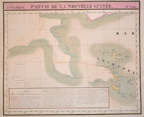
OZ0330
|
Vandermaelen
|
Partie de la Nouvelle Guinée. N.23 |
1825 |
230 |
|
OZ0331
|
Vandermaelen
|
Archipel des Nouvelles Hébrides. N.39 |
1825 |
260 |
|
OZ0333
|
Vandermaelen
|
Nouvelle Caledonie. N.46 |
1825 |
270 |
|
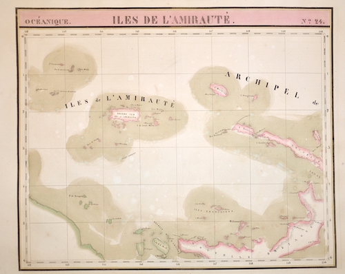
OZ0336
|
Vandermaelen
|
Isles de L´Amirauté. N.24 |
1835 |
260 |
|
OZ0340
|
Vandermaelen
|
Partie de la Nouvelle Guinée |
1825 |
230 |
|
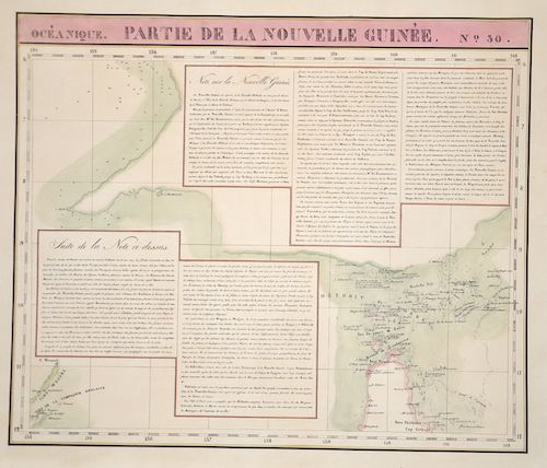
OZ0342
|
Vandermaelen
|
Partie de la nouvelle Guinée No. 30 |
1825 |
200 |
|
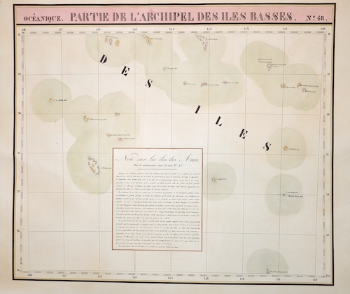
OZ0343
|
Vandermaelen
|
Partie de l ´Archipel des iles Basses No.48 |
1825 |
160 |
|
OZ0306
|
Cook/ Whitchurch
|
Carte d´une partie du Grand Ocean…. |
1781 |
380 |
|
OZ0312
|
Laguillermie
|
Iles Marquises dont la prise de possession a été faite au nom de la France le 1er Mai 1842 |
1850 |
400 |
|
OZ0294
|
Pérouse, la
|
Plan d´une partie de l´isle de Maouna/ Plan de l´anse du Massacre |
1787 |
270 |
|
OZ0296
|
Hogg
|
Matavia Bay in Otaheite/Oweharre harbour in Huaheine/Ohamaneno harbour in Ulietea/Oopoa harbour in Ulietea |
1784 |
200 |
|
OZ0303
|
Hogg
|
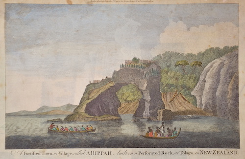
Fortified town, or village, called a Hippah, built on a perforated rock, at Tolaga, in New Zeeland |
1784 |
160 |
|
OZ0304
|
Bry, de
|
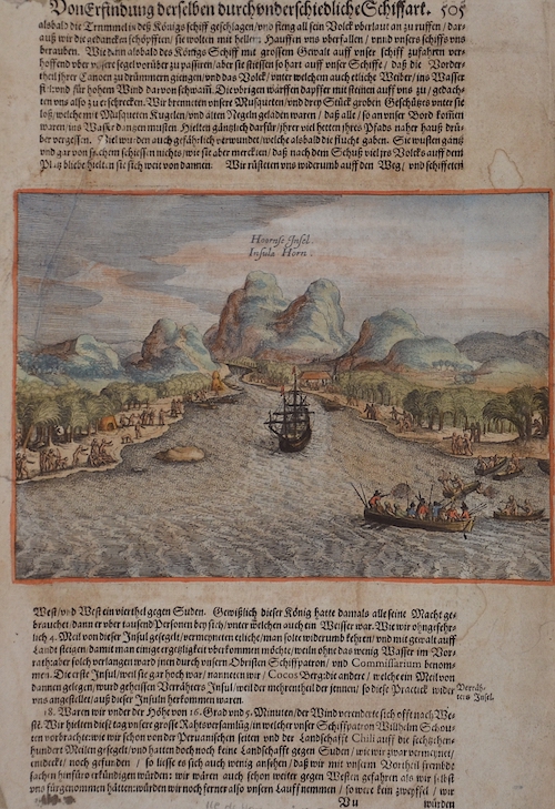
Hoornse Insel. Insula Horn / Von Erfindung derselben durch underschiedliche Schiffart 505 |
1619 |
370 |
|
OZ0308
|
Bry, de - Merian
|
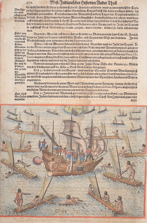
West- Indianischer Historien ander Theil/ I. Ladrones |
1628 |
330 |
|
OZ0309
|
Bry, de - Merian
|
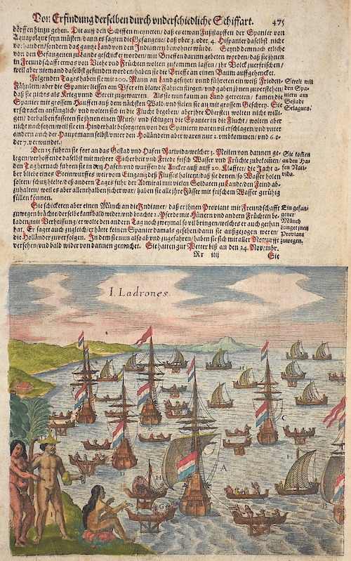
Von Erfindung derselben durch underschiedliche Schiffart 475 / I. Ladrones |
1628 |
370 |
|
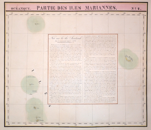
OZ0321
|
Vandermaelen
|
Partie des Iles Mariannes No.2 |
1825 |
190 |
|
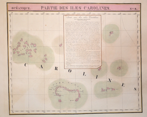
OZ0320
|
Vandermaelen
|
Karte zeigt die Karolinen Inseln im Pazifik No.9 |
1825 |
290 |
|
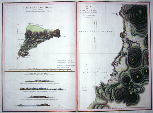
OZ0282
|
Pérouse, la
|
Plan de l´Ile de Paque/ Plan de la Baye de Cook/ views de l´Ile de Paque |
1790 |
400 |
|

OZ0278
|
Hogg
|
Chart of the Society Isles discovered by Capt. Cook 1769 |
1769 |
340 |
|
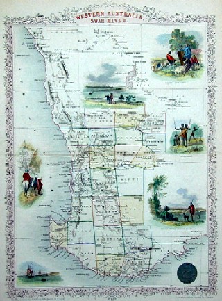
OZ0272
|
Tallis
|
Wetsern Australia. Swan river |
1850 |
300 |
|
OZ0273
|
Mallet
|
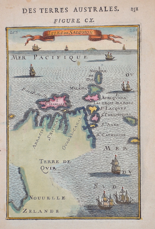
Isles de Salomon |
1683 |
270 |
|
OZ0275
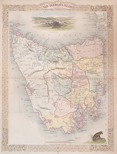
|
Tallis
|
Van Diemen´s island or Tasmania |
1850 |
270 |
|
OZ0287
|
Pérouse, la
|
Carte de l´archipel des navigateurs… |
1787 |
1260 |
|
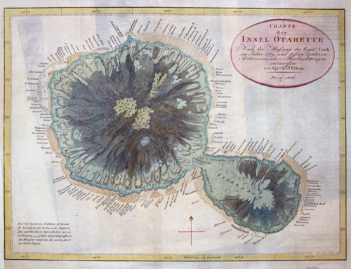
OZ0261
|
Willson
|
Charte der Insel Otaheite |
1816 |
140 |
|
OZ255
|
Reinecke
|
General Charte Australien |
1806 |
790 |
|
OZ259
|
Walch
|
Australien ( Südland) auch Polynesien oder Inselwelt, insgemein der Fünfte Welttheil genannt |
1802 |
680 |
|
OZ257
|
Walker
|
Western Australia../ Van Dimen Island |
1833 |
250 |
|
OZ258
|
Anonymus
|
Australie |
1840 |
240 |
|
OZ192
|
Lemercier / Levasseur
|
Océanie |
1840 |
130 |
|
OZ194
|
Vuillemin
|
Nouvelle Carte illustrée l’ Oceanie |
1860 |
440 |
|
OZ226
|
Lapie
|
Carte de l’Océanie contenant L´Australie, La Polonesie et Les Isles Asiatiques…. |
1820 |
610 |
|
OZ228
|
Brué
|
Carte de l’Océanic ou Cinquieme partie du monde |
1830 |
550 |
|
OZ195
|
Robiquet
|
Carte de l’Australie |
1867 |
470 |
|
OZ218
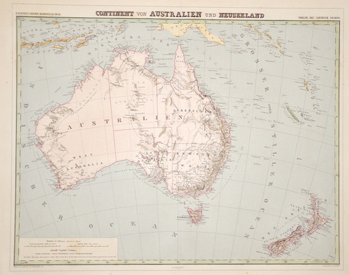
|
Herzberg
|
Continent von Australien und Neuseeland” |
1878 |
290 |
|
OZ221
|
Swoboda & Hartl
|
Generalcharte von Australien |
1815 |
930 |
|
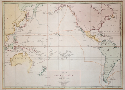
OZ181
|
Pérouse, la
|
Carte du Grand Océan ou Mer du Sud |
1797 |
910 |
|
OZ182
|
Robinson/Neele
|
Parte of the Great Pacific Ocean… |
1798 |
400 |
|
OZ187
|
Bohn
|
Australie |
1817 |
430 |
|
EUN598
|
Cook/ Whitchurch
|
Carte de la N. Galles merid… N. Hollande |
1770 |
320 |
|
ASS303
|
Bonne
|
Isles des Nouvelles Hebrides, et celle de la nouvelle Caledonie |
1771 |
180 |
|
ASS181
|
Tirion
|
Kaart van de Papoasche Eilanden |
1753 |
220 |
|
ASS0876
|
Bry, de - Merian
|
250 Erfindung / und Schiffarten |
1628 |
340 |
|
ASS0755
|
Dapper
|
Afbeelding van de Inwooneren van Nieuw Guinea |
1671 |
130 |
|
ASS0763
|
Bowen
|
Christmas island |
1777 |
170 |
|
ASS0631
|
Mallet
|
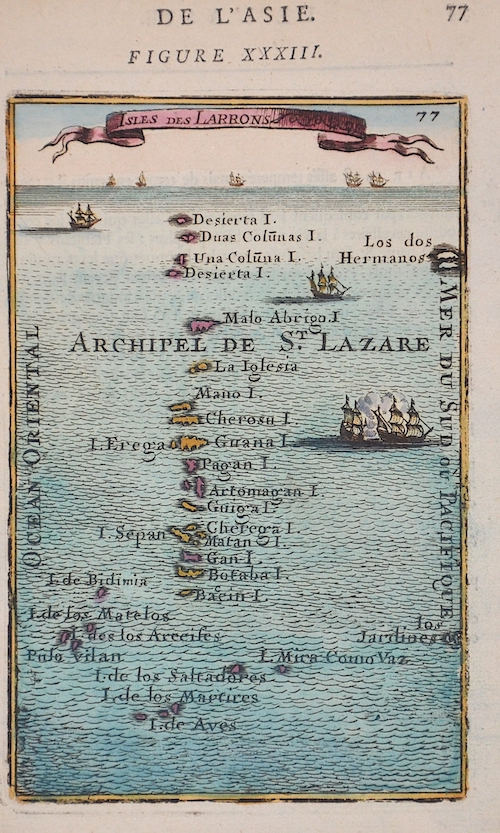
Isles des Larrons |
1680 |
190 |
|


