EUG5400
|
Schönsperger Johann
|
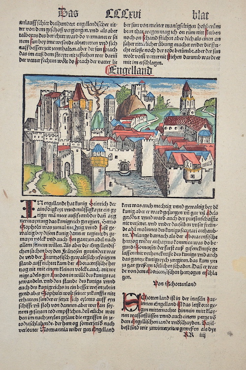
Engelland / Von Hispania |
1500 |
280 |
|
EUG5369
|
Bertius Petrus
|
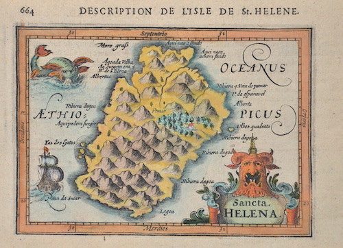
Sancta Helena. / 664 Description de l’isle de St. Helene. |
1618 |
250 |
|
EUG4844
|
Mallet Alain, Manesson
|
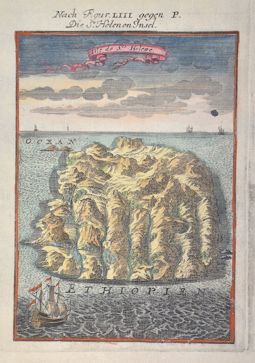
Nach Figur. LIII gegen P. Die St. Helenen Insel. |
1683 |
230 |
|
EUG4190
|
Münster Sebastian
|
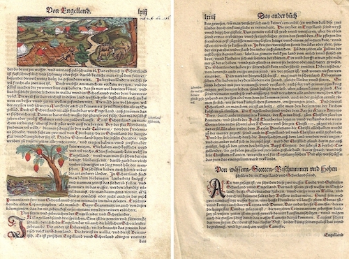
Von Engelland. |
1550 |
160 |
|
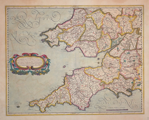
EUG421
|
Mercator Gerhard
|
Cornubia, Devonia…" |
1595 |
410 |
|
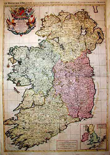
EUG423
|
Jaillot Hubert
|
Les Royaumes d‘ Irlande… |
1700 |
680 |
|
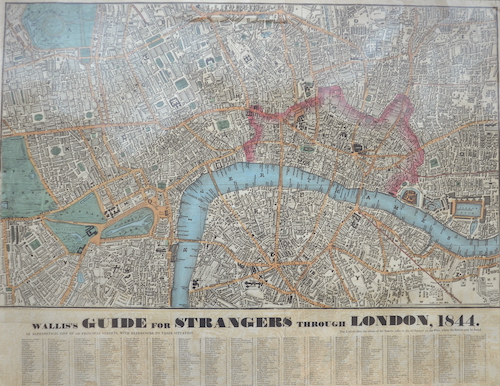
EUG4226
|
Wallis Edward
|
Wallis’s Guide for Strangers through London, 1844. |
1844 |
840 |
|
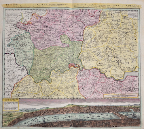
EUG754
|
Homann Erben
|
Ausführliche Geographische Vorstellung der Gegend um London |
1791 |
940 |
|
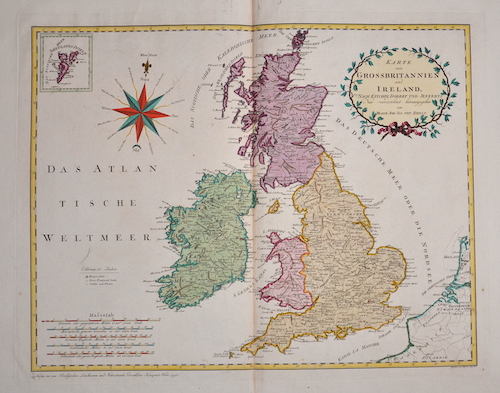
EUG413
|
Reilly Franz Johann Joseph
|
Karte von Grossbritannien und Ireland |
1796 |
410 |
|
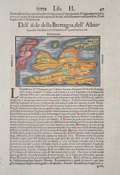
EUG417
|
Münster Sebastian
|
Dell‘ isole della Brettagna, dell‘ Albione,.. |
1550 |
260 |
|
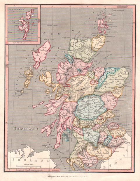
EUG4080
|
Sherwood/Neely & Jones
|
Scotland. Suetland Is. |
1820 |
200 |
|
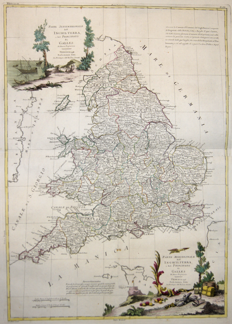
EUG3762
|
Zatta Antonio
|
Parte Settentrionale dell‘ Inghilterra, e del Principato di Galles / Parte Meridionale dell‘ Inghilterra, e del Principato die Galles |
1778 |
500 |
|
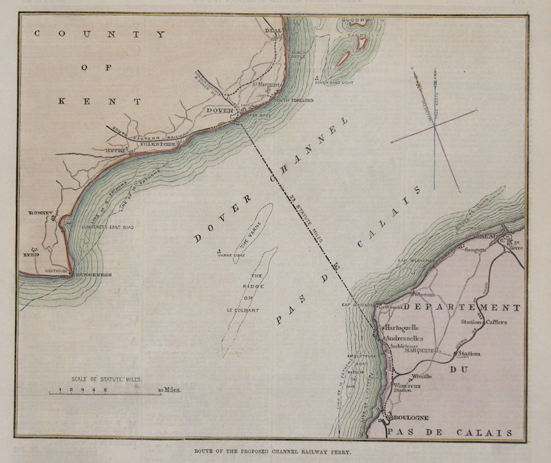
EUG3766
|
Anonymus
|
Route of the proposed Channel Railwey Ferry. |
1870 |
90 |
|
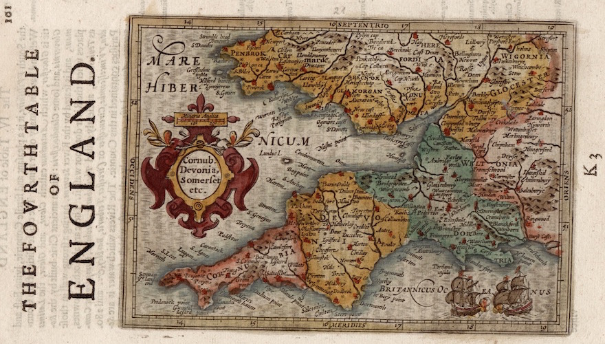
EUG3819
|
Sparke Michael
|
The fourth table of England. / Cornub. Devonia, Somerset etc. |
1620 |
300 |
|
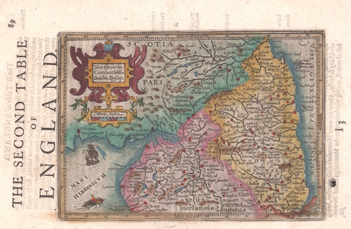
EUG4061
|
Sparke Michael
|
The second table of England. / Northumr. Cumberlandia Dunelm. Episcop. |
1635 |
160 |
|
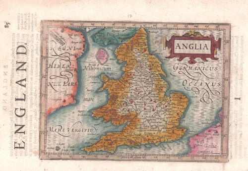
EUG4062
|
Sparke Michael
|
England. / Anglia |
1635 |
230 |
|
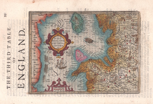
EUG4063
|
Sparke Michael
|
The third table of England. / Westmorland, Castria, Cestria etc |
1635 |
230 |
|
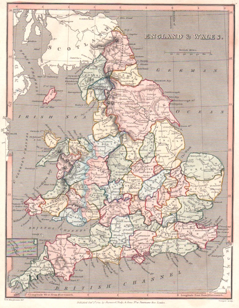
EUG4081
|
Sherwood/Neely & Jones
|
England & Wales. |
1820 |
230 |
|
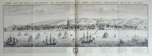
EUG4178
|
Buck S. & N.
|
The south west prospect of Liverpoole, in the county palatine of Lancaster. |
1728 |
740 |
|
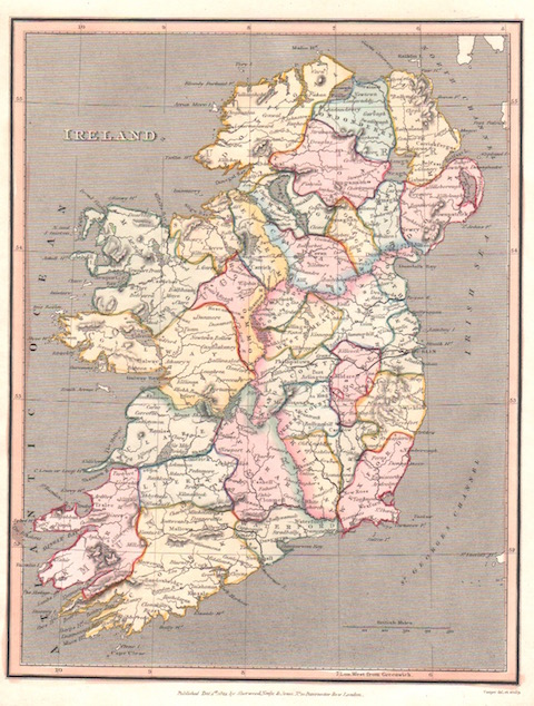
EUG4079
|
Sherwood/Neely & Jones
|
Ireland. |
1820 |
200 |
|
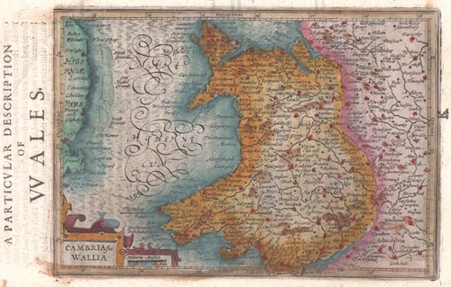
EUG4064
|
Sparke Michael
|
A Particular description of Wales. / Cambria sive Wallia |
1635 |
210 |
|
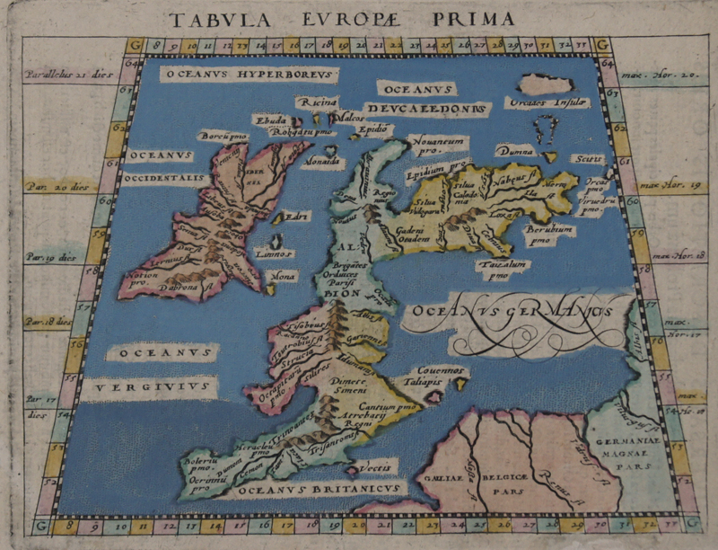
EUG3445
|
Ruscelli Girolamo
|
Tabula Europae Prima |
1620 |
440 |
|
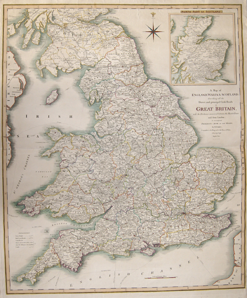
EUG3447
|
Faden William
|
A Map of England, Wales + Scotland, describing all the Direct and principal Cross Roads in Great Britain, with the Distances measured between the.. |
1801 |
410 |
|
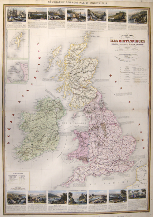
EUG3448
|
Vuillemin Alexandre
|
Nouvelle Carte Illustree des Iles Britanniques |
1840 |
400 |
|
EUG3449
|
Bellin Jacques Nicolas
|
Carte Reduite des Isles Britanniques.. |
1757 |
500 |
|
EUG3450
|
Picquet Ch
|
Nouv.le Carte Geo-Hydrographique des Isles Britanniques, ou Royaume Uni de Grande Bretagne et d’Irlande |
1780 |
380 |
|
EUG3646
|
Dower John
|
Wreck Chart of the Britisch Isles for 1868 complied from the board of trade register. Showing also the present life – boat stations. |
1869 |
340 |
|
EUG3700
|
Blaeu Willem Janszoon
|
Penbrochia Comitatus et Comitatus Caermaridunum. |
1645 |
420 |
|
EUG3731
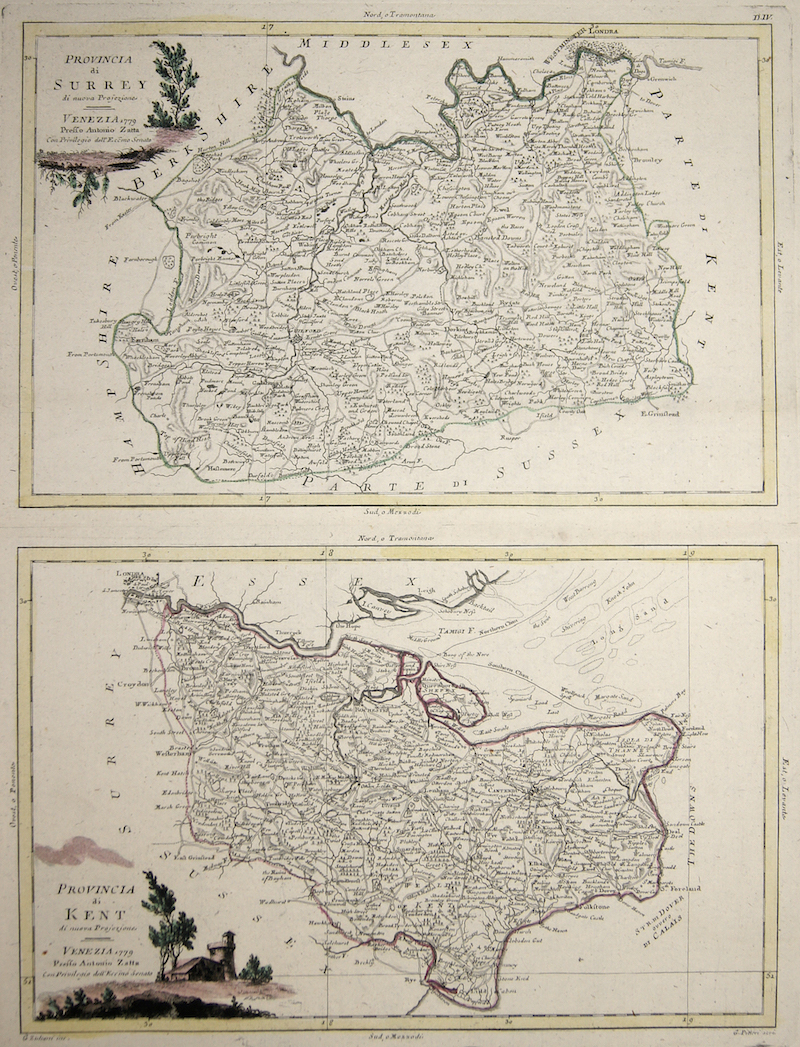
|
Zatta Antonio
|
Provincia di Surrey / Provincia di Kent |
1779 |
320 |
|
EUG3732
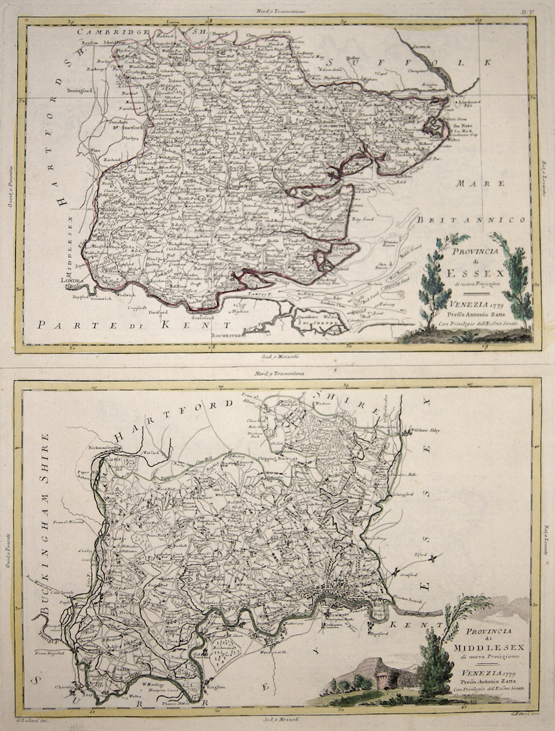
|
Zatta Antonio
|
Provincia di Essex / Provincia di Middlesex |
1779 |
340 |
|
EUG3746
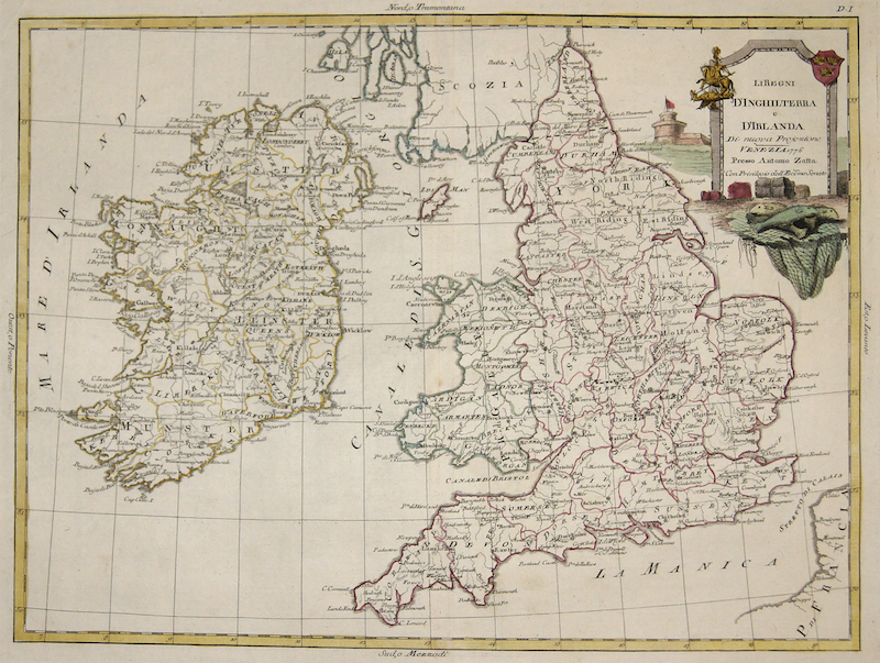
|
Zatta Antonio
|
Li Regni d’Inghilterra e d’Irlanda |
1776 |
260 |
|
EUG3648
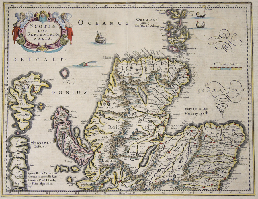
|
Janssonius Johann
|
Scotiae pars Septentrionalis. |
1650 |
500 |
|
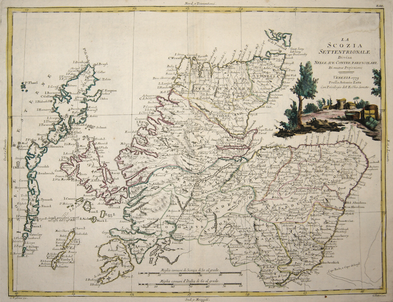
EUG3726
|
Zatta Antonio
|
La Scozia settentrionale Divisa nelle sue contee particolari. |
1779 |
260 |
|
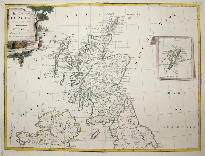
EUG3727
|
Zatta Antonio
|
Il Regno di Scozia di Nuova Projezioone |
1776 |
260 |
|
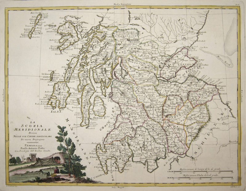
EUG3728
|
Zatta Antonio
|
La Scozia Meridionale Divisa Nelle sue contee particolari Di nuova Projezione. |
1779 |
260 |
|
EUG3446
|
Coronelli Vicenzo Maria
|
Parte Settentrionale des regno d’Inghilterra.. / Parte Meridionale des regno d’Inghilterra,.. |
1690 |
1260 |
|
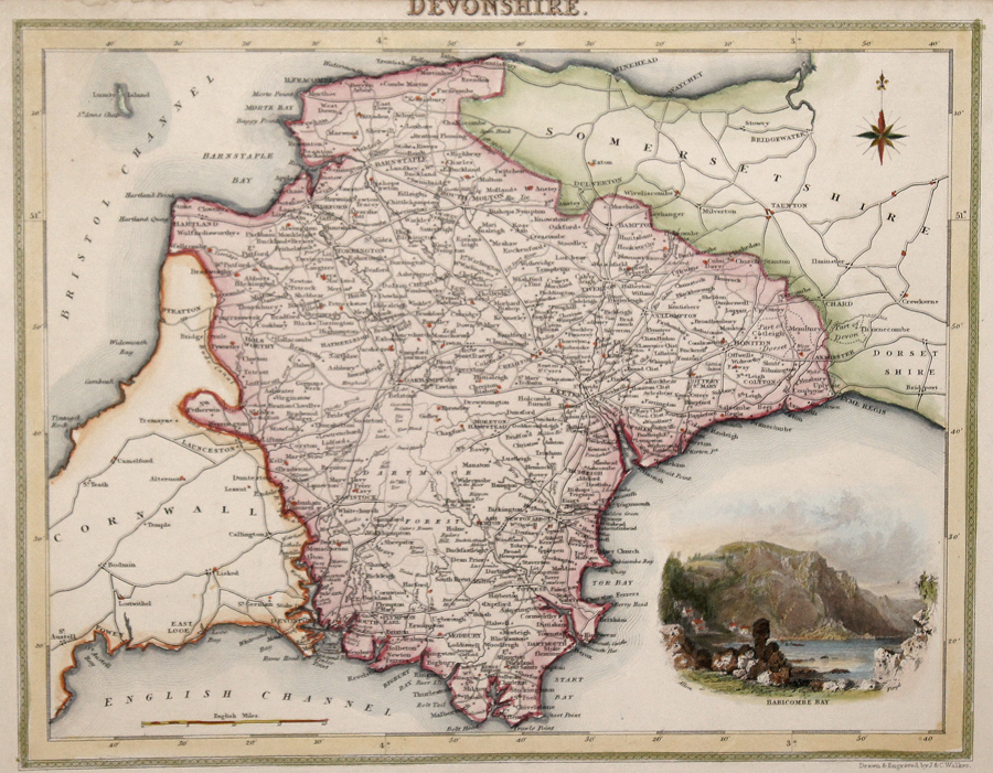
EUG3574
|
Walker John/C.
|
Devonshire. |
1837 |
120 |
|
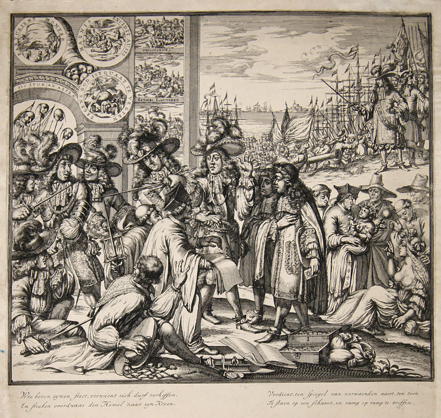
EUG3609
|
Hooghe, de Romeyn
|
Wie boven zynen Staet, verwaent zich durf verheffen, En steeken overdwaas den Hemel naar zyn Kroon, Verdient, ten Spiegel van verwaenden aaert,… |
1638 |
470 |
|
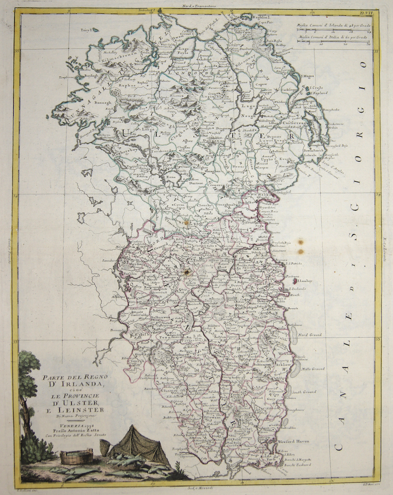
EUG3730
|
Zatta Antonio
|
Parte del Regno d’Irlanda, cioè le Provincie d‘ Ulster, e Leinster |
1778 |
260 |
|
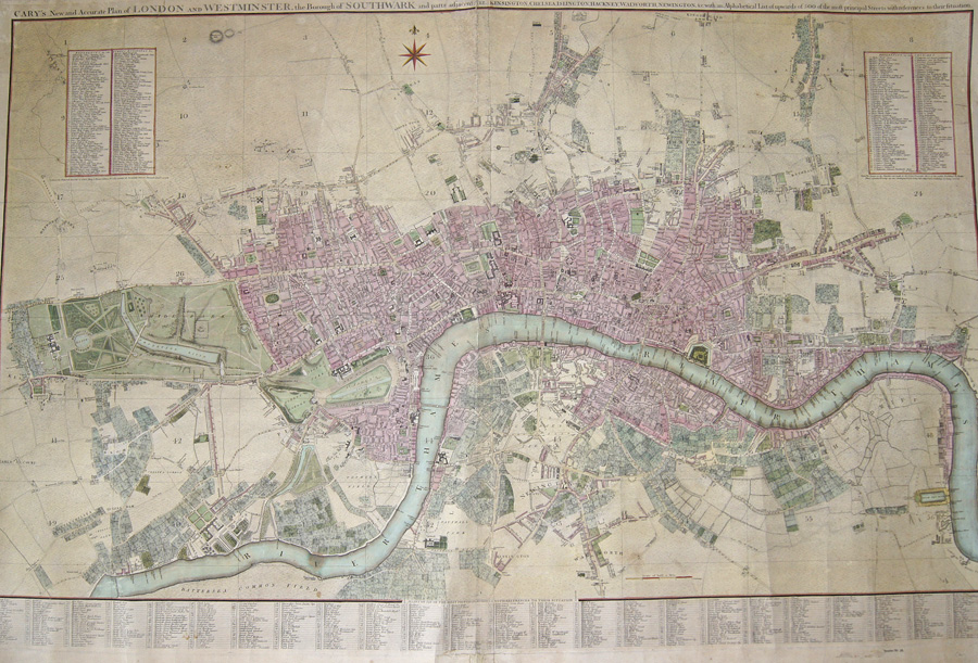
EUG3643
|
Cary John
|
Cary’s New and Accurate Plan of London and Westminster, the Borough of Southwark and parts adjacent,… |
1790 |
3570 |
|
EUG2620
|
Ruscelli Girolamo
|
Tabula Europae I |
1564 |
570 |
|
EUG3053
|
Anonymus
|
Insularum Brittanicarum Facies Antiqua |
1700 |
300 |
|
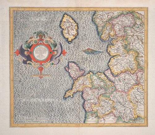
EUG3225
|
Münster Sebastian
|
Engellandt / nac dem anstossenden Reich Schottlandt / so hörzeiten Albion und Britannia haben geheissen. |
1550 |
650 |
|
EUG3213
|
Merian Matthäus
|
West-Inianischer Historien. Dritter Theil. |
1630 |
150 |
|
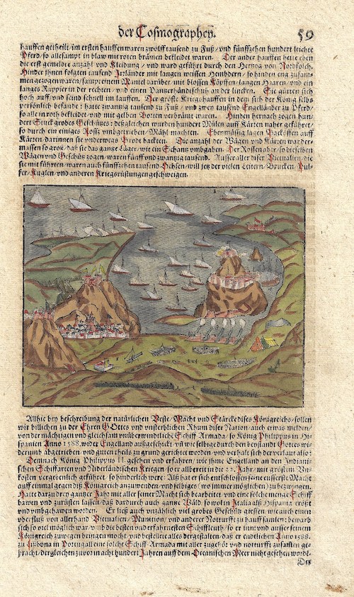
EUG3263
|
Münster Sebastian
|
Allhie bey beschreibung der natürlichen Macht und Stärke…unüberwindliche Schiff-Armada/so König Philippus II in Hispanien Anno 1588. |
1550 |
170 |
|
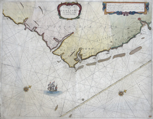
EUG2745
|
Keulen Johannes van
|
De Zuyd Oost zyde van Yerlandt van Dubing tot aen t´Eylandt Corkbeg |
1700 |
470 |
|
EUG2796
|
Mercator Gerhard
|
Westmorlandia, Lan, Castria, Cestria, Caenarvan.. |
1630 |
400 |
|
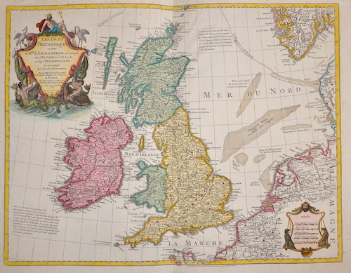
EUG1044
|
Dezauche J.C.
|
Les Isles Britanniques |
1800 |
400 |
|
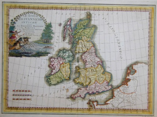
EUG1688
|
Cassini Giovanni Maria
|
Le Isole Britanniche Antiche…. |
1788 |
420 |
|
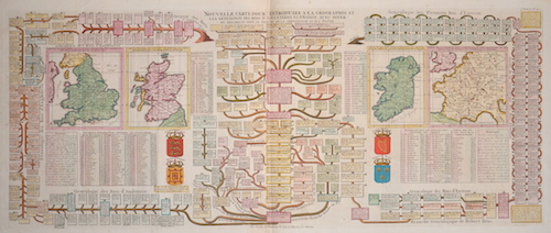
EUG1699
|
Chatelain Henri Abraham
|
Nouvelle carte pour entruduire a la geographie et a la genealogie des Roys d´Angleterre et d´Ecosse….. |
1720 |
440 |
|
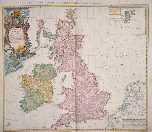
EUG1954
|
Homann Erben
|
A general map of Great Britain and Ireland with part of Holland Flandres, France…… |
1749 |
440 |
|
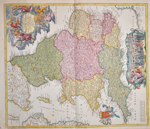
EUG207
|
Homann Johann Babtiste
|
Magnae Britanniae pars meridionalis in qua Regnum Anglia … |
1710 |
420 |
|
EUG2108
|
Jaillot Hubert
|
Les Isles Britanniques, ou sont les Royaumes d´Angleterre, d´Escosse, et d´Irlande……. |
1696 |
1470 |
|
EUG2610
|
Elwe Jan Barend
|
Les Isles Britanniques qui contiennent les Royaumes d´Angleterre, Escosse, et Irlande…. |
1792 |
580 |
|
EUG2037
|
Münster Sebastian
|
Beschreibung der Königlichen Stadt Edinburg/durch Alexandrum von Ales/ Doctorem der heyligen Beschrifft |
1550 |
290 |
|
EUG2336
|
Reilly Franz Johann Joseph
|
Karte von Scotland nach Dorret |
1795 |
440 |
|
EUG2477
|
Wit, de Frederick
|
Scotia regnum divisum in Partem Septentrionalem et Meridionalem….. |
1688 |
320 |
|
EUG1353
|
Speed John
|
Norfolk a county florishing and populus descript and devided with the arms of such nobel families as have born the titels Therof |
1620 |
1520 |
|
EUG1613
|
Valk Gerard
|
Cantium Vernacule Kent |
1683 |
500 |
|
EUG1967
|
Blaeu Willem Janszoon
|
Vectis insula. Anglice the isle of Wight |
1654 |
520 |
|
EUG2119
|
Wit, de Frederick
|
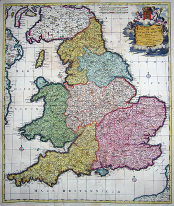
Accuratissima Angliae regni et Walliae Principatus descriptio….. |
1670 |
580 |
|
EUG2137
|
Mount & Page
|
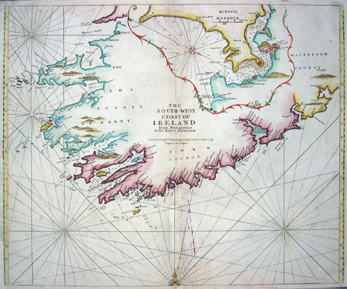
The South-West Coast of Ireland from Dungarvan to the River Shannon/ Kinsale Harbour |
1748 |
790 |
|
EUG2138
|
Mount & Page
|
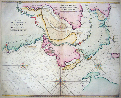
A chart of the seacoasts of Irland from Dublin to London- Derry/ Lough Foyle or the passage to London- Derry |
1748 |
820 |
|
EUG2242
|
Mortier Peter
|
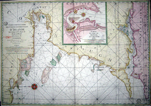
Carte particuliere des Costes occidentales d´Irlande…… |
1740 |
970 |
|
EUG1043
|
Vaugondy,de Robert
|
Carte des Isles Britaniques |
1780 |
340 |
|
EUG0424
|
Homann Johann Babtiste
|
Magnae Britanniae Pars Septentrionalis qua Regnum Scotiae … |
1710 |
510 |
|
AMW1145
|
Hondius Hendrik
|
Mappa Aestivarum Insularum, alias Barmudas dictarum, ad Ostia… |
1647 |
2520 |
|
AMW238
|
Tallis John
|
Islands in the Atlantic |
1851 |
300 |
|
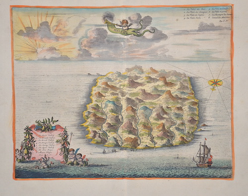
AF096
|
Dapper/Waasberger Olfert
|
St. Helene |
1686 |
210 |
|
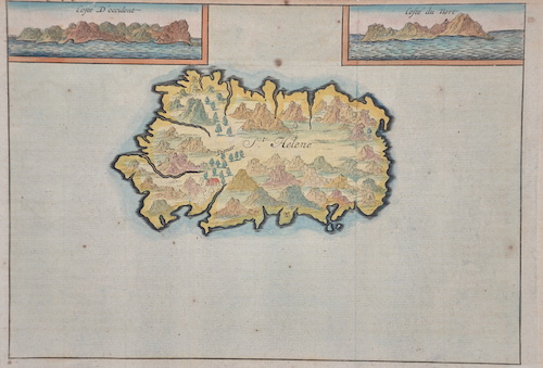
AF0428
|
Renneville, de
|
St. Helene |
1724 |
230 |
|
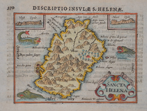
AF0405
|
Bertius Petrus
|
Descriptio Insulae S. Helenae, / Sancta Helena |
1606 |
250 |
|
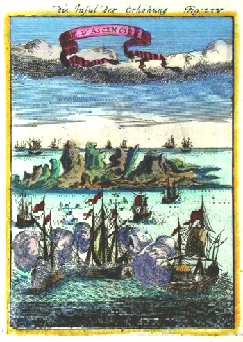
AF0152
|
|
Die Insul der Erhöhung, Isle de Ascencion |
1684 |
160 |
|
AF0154
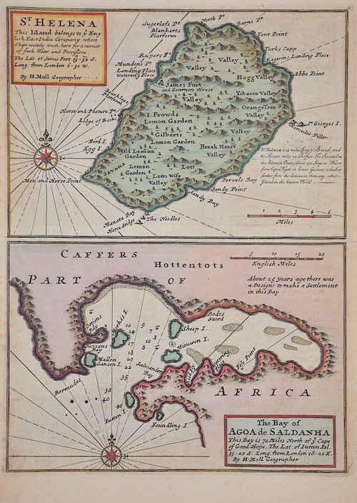
|
Moll Hermann
|
St. Helena / The bay of Agoa de Saldanha |
1712 |
260 |
|