

Adina Sommer
Antique and Contemporary Art
Winzerer Str. 154
80797 München
telephone
+49 89 304714
business hours:
by appointment
Email
![]()


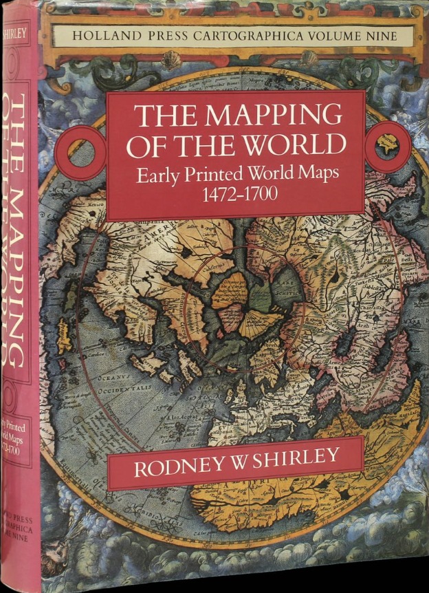
The Mapping of the World Early Printed World Maps 1472-1700 / Rodney W Shirley

| Article ID | FB0010 |
Title | The Mapping of the World Early Printed World Maps 1472-1700 / Rodney W Shirley |
Description | One of the most important reference books of antique world maps, published from 1472 - 1700. 669 pages, with a colour frontispiece and over 440 plates, 19 of them illustrated in colour.This cartobibliographical study illustrates how the world map developed from the earliest years of printing in the 1470s up to the turn of the seventeenth century. |
| Year | c. 1983 |
Artist | The Holland Press Limited. |
| Place of Publication | London |
| Dimensions (cm) | 34 x 25 cm |
| Condition | Slight signs of use |
| Coloring | black/white |
| Technique | Color print |