

Adina Sommer
Antique and Contemporary Art
Winzerer Str. 154
80797 München
telephone
+49 89 304714
business hours:
by appointment
Email
![]()


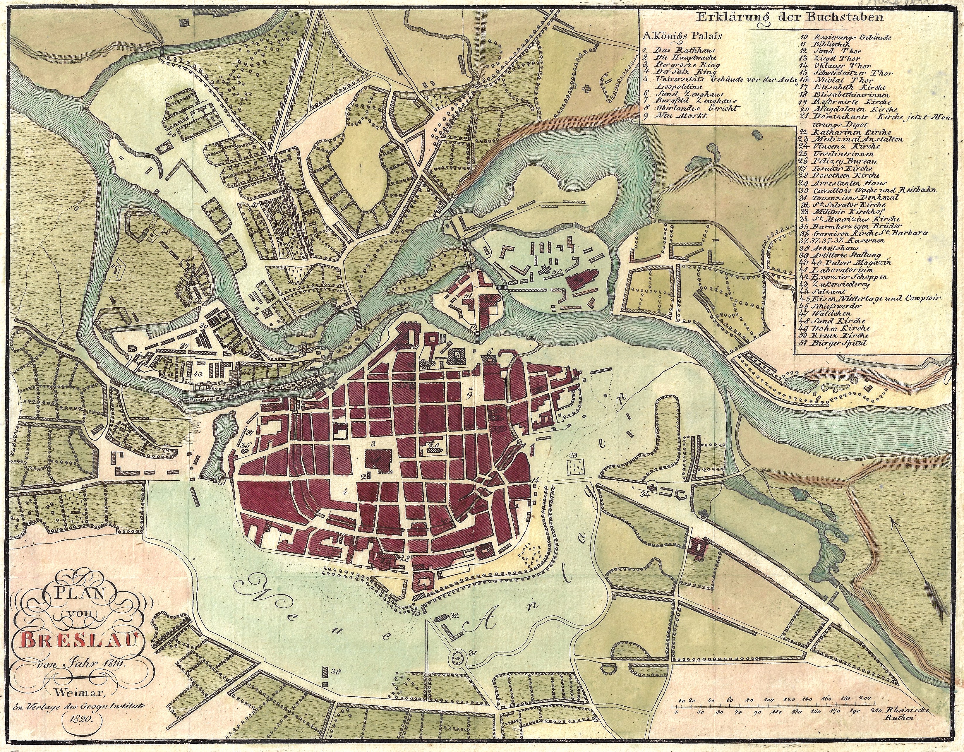
Plan von Breslau von Jahr 1819.

| Article ID | EUP4213 |
Title | Plan von Breslau von Jahr 1819. |
Description | Detailed city map of Bresau in Silesia around 1820, Poland. |
| Year | ca. 1820 |
Artist | Geographisches Institut (1804-1867) |
| Place of Publication | Weimar |
| Dimensions (cm) | 21,5 x 27,5 cm |
| Condition | Perfect condition |
| Coloring | colored |
| Technique | Copper print |