

Adina Sommer
Antique and Contemporary Art
Winzerer Str. 154
80797 München
telephone
+49 89 304714
business hours:
by appointment
Email
![]()


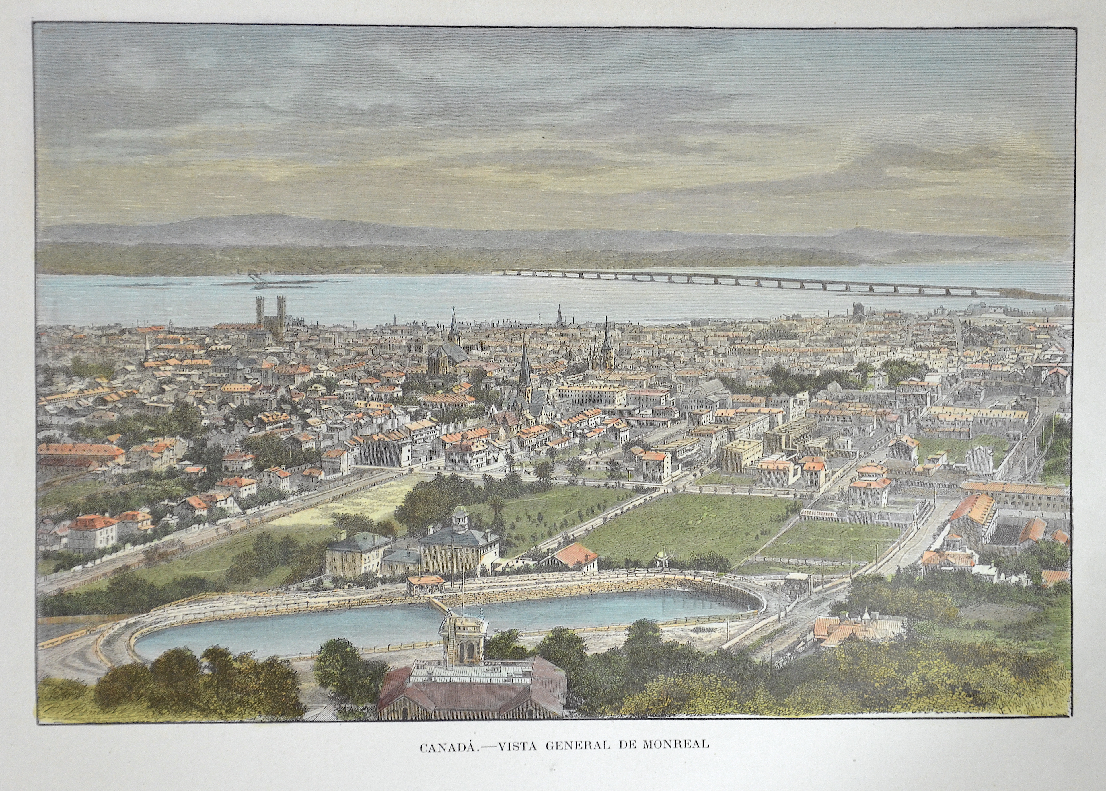
Canadá. – Vista General de Monreal

| Article ID | AMC1366 |
Title | Canadá. – Vista General de Monreal |
Description | Decorative and detailed total view of the city of Montreal, Canada. |
| Year | ca. 1880 |
Artist | Benott |
Historical Description | The name of the city of Montreal is derived from Mont Royal (French: "royal mountain"). It was named after Jacques Cartier, who discovered the striking range of hills on the island in 1535 and named it in honor of King François I. When the Venetian cartographer Giacomo Gastaldi made a map based on Cartier's notes in 1556 for the book series Navigationi et Viaggi published by Giovan Battista Ramusio, he gave the range of hills the name Monte Real. François de Belleforest was the first to use the name form Montréal derived from it in La Cosmographie universelle de tout le monde, his cosmography published in 1575. After the appearance of a map made by Samuel de Champlain in 1612, the name was carried over to the entire island. The first French settlement on the island, founded in 1642, was called Ville-Marie. This name was gradually supplanted by Montréal and fell out of use in the first half of the 18th century. |
| Place of Publication | Paris |
| Dimensions (cm) | 17 x 24 cm |
| Condition | Perfect condition |
| Coloring | original colored |
| Technique | Wood engraving |