

Adina Sommer
Antique and Contemporary Art
Winzerer Str. 154
80797 München
telephone
+49 89 304714
business hours:
by appointment
Email
![]()


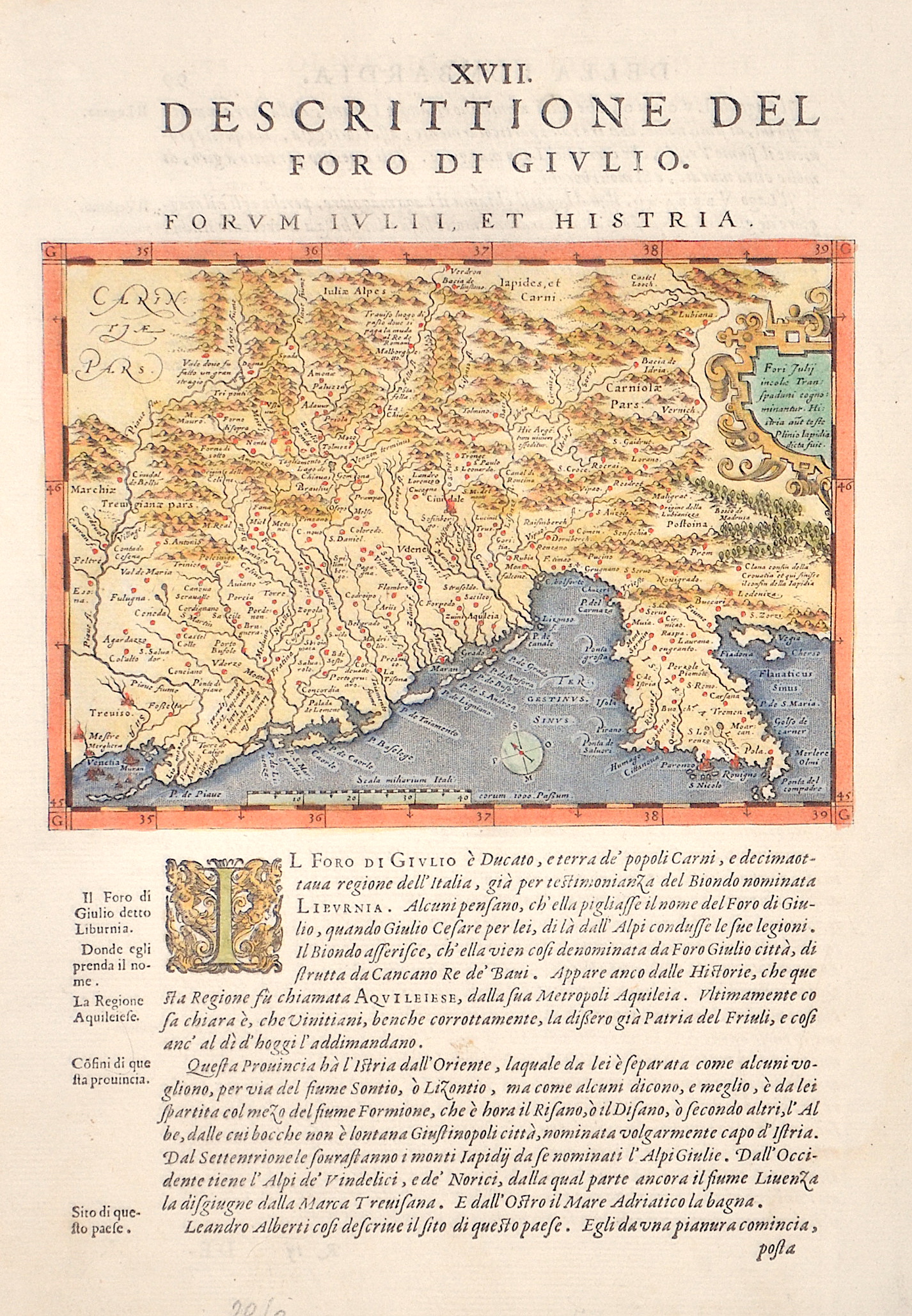
XVII. Descrittione del Foro di Giulio Formum Iulii, et Histria

| Article ID | EUY2361 |
Title | XVII. Descrittione del Foro di Giulio Formum Iulii, et Histria |
Description | Map shows Istria and partly Italy. |
| Year | ca. 1598 |
Artist | Rosaccio |
Historical Description | Following the decisive Ottoman victories, Croatia was split into civilian and military territories, with the partition formed in 1538. The military territories would become known as the Croatian Military Frontier and were under direct Imperial control. Ottoman advances in the Croatian territory continued until the 1593 Battle of Sisak, the first decisive Ottoman defeat, and stabilisation of borders. The Ottoman wars instigated great demographic changes. Croats migrated towards Austria and the present-day Burgenland Croats are direct descendants of these settlers. o replace the fleeing population, the Habsburgs encouraged the Christian populations of Bosnia and Serbia to provide military service in the Croatian Military Frontier. Serb migration into this region peaked during the Great Serb Migrations of 1690 and 1737–39. Between 1797 and 1809 the First French Empire gradually occupied the entire eastern Adriatic coastline and a substantial part of its hinterland, ending the Venetian and the Ragusan republics, establishing the Illyrian Provinces. |
| Place of Publication | Venice |
| Dimensions (cm) | 26 x 17 cm |
| Condition | Perfect condition |
| Coloring | original colored |
| Technique | Copper print |