

Adina Sommer
Antique and Contemporary Art
Winzerer Str. 154
80797 München
telephone
+49 89 304714
business hours:
by appointment
Email
![]()


no title
| Article ID | AMC1458 |
Title | no title |
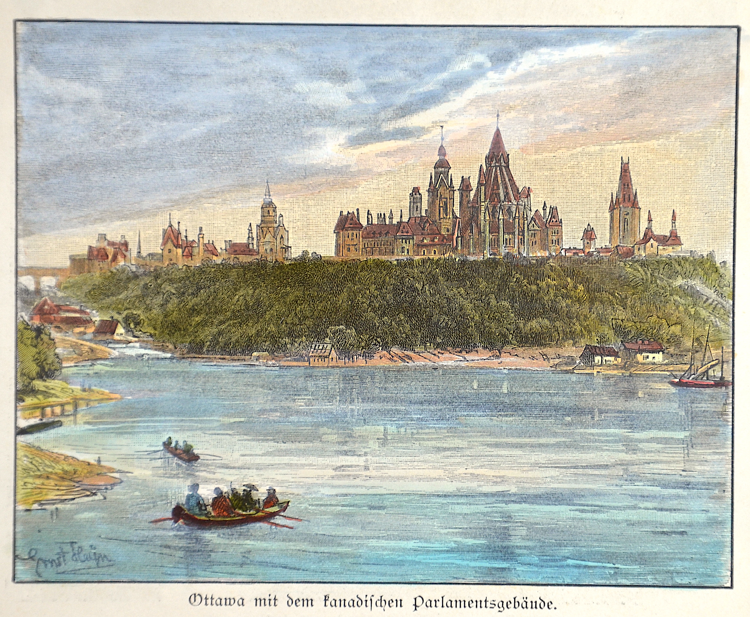
View shows the Parliament of Canada in Ottawa, Canada. | |
| Year | ca. 1880 |
Artist | Heyn |
| Place of Publication | Germany |
| Dimensions (cm) | 10,5 x 12,5 cm |
| Condition | Perfect condition |
| Coloring | original colored |
| Technique | Wood engraving |
:
9.00 €
( A reproduction can be ordered individually on request. )