

Adina Sommer
Antique and Contemporary Art
Winzerer Str. 154
80797 München
telephone
+49 89 304714
business hours:
by appointment
Email
![]()


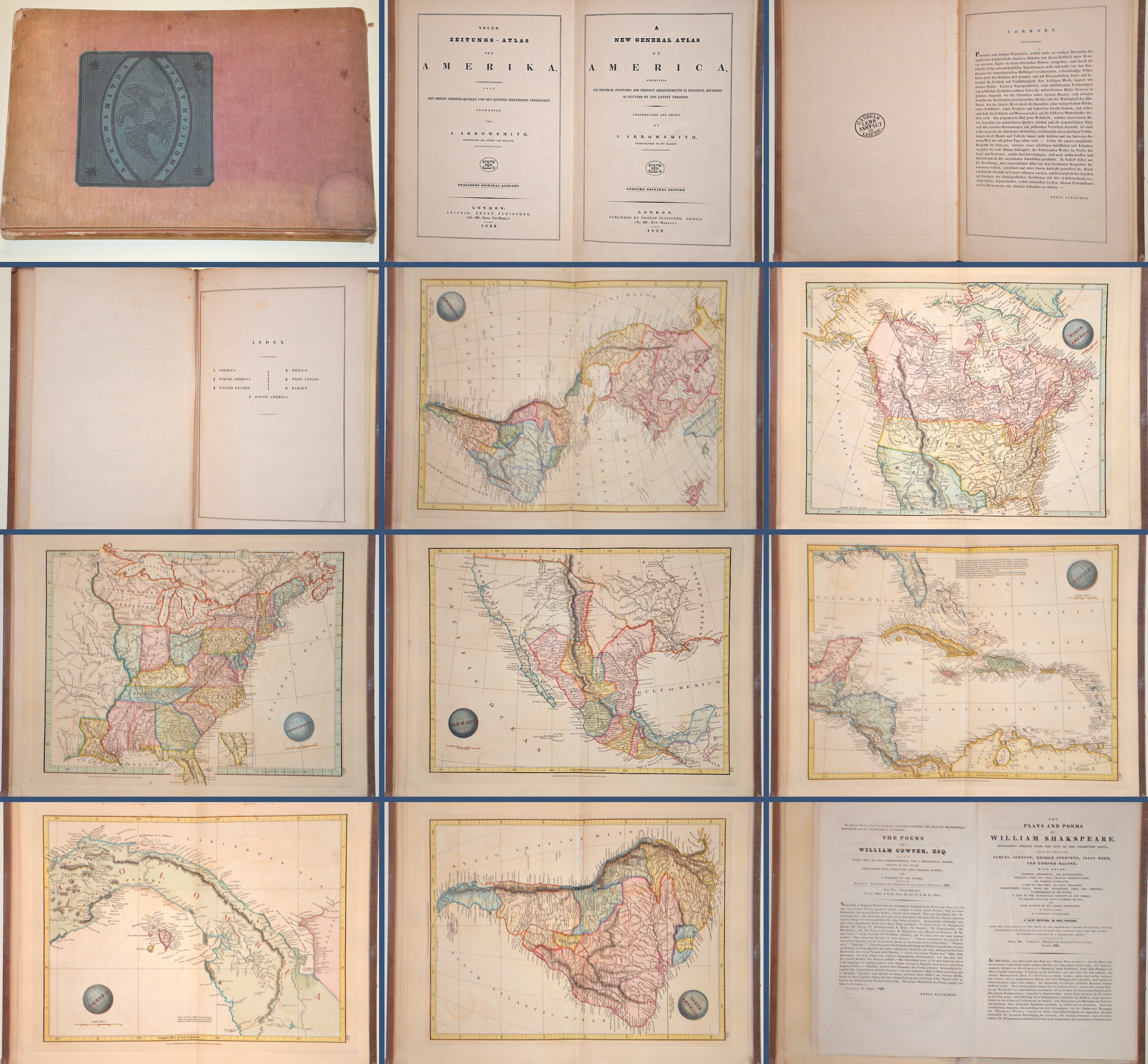
Neuer Zeitungs-Atlas von Amerika…../A new general Atlas of America exhibiting its physical features and present arrangements in political divisions
| Article ID | B0014 |
Title | Neuer Zeitungs-Atlas von Amerika…../A new general Atlas of America exhibiting its physical features and present arrangements in political divisions |
Book depicts on 7 maps, complete America, North and south America, USA, West Indies, Mexico and Columbia. | |
| Year | dated 1829 |
Artist | Arrowsmith/ Lapie |
| Place of Publication | London |
| Dimensions (cm) | 27,5 x 18 cm |
| Condition | Very good |
| Coloring | colored |
| Technique | Copper print |
:
48.00 €
( A reproduction can be ordered individually on request. )