

Adina Sommer
Antique and Contemporary Art
Winzerer Str. 154
80797 München
telephone
+49 89 304714
business hours:
by appointment
Email
![]()


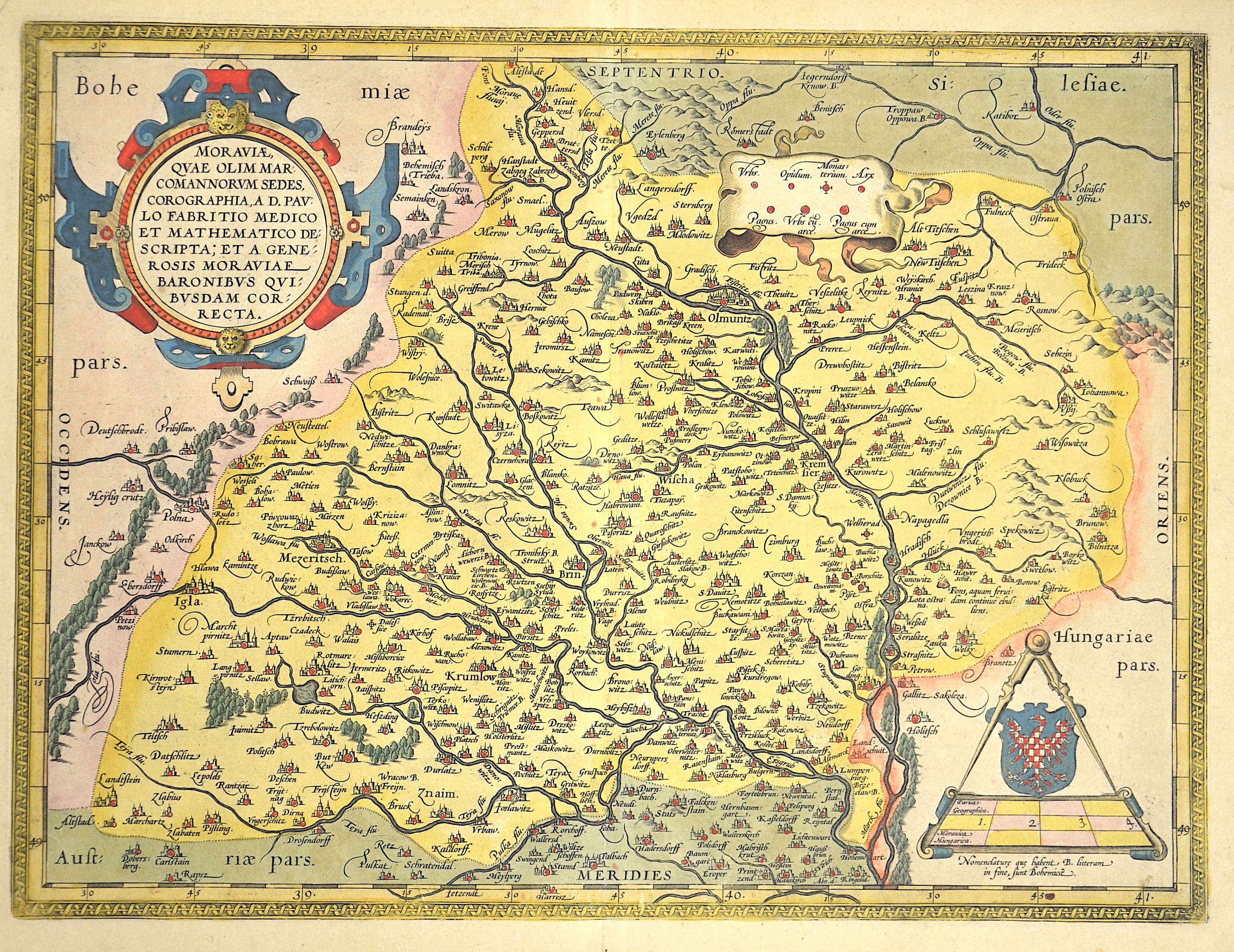
Moraviae Qua Olim Marcomannorum Sedes, Corographia , A.D.Paulo Fabritio Medico et Mathematico Descripta….
| Article ID | EUT1015 |
Title | Moraviae Qua Olim Marcomannorum Sedes, Corographia , A.D.Paulo Fabritio Medico et Mathematico Descripta…. |
Map shows total Moravia | |
| Year | ca. 1595 |
Artist | Ortelius |
| Place of Publication | Antwerp |
| Dimensions (cm) | 36 x 47 |
| Condition | Very good |
| Coloring | original colored |
| Technique | Copper print |
:
63.00 €
( A reproduction can be ordered individually on request. )