

Adina Sommer
Antique and Contemporary Art
Winzerer Str. 154
80797 München
telephone
+49 89 304714
business hours:
by appointment
Email
![]()


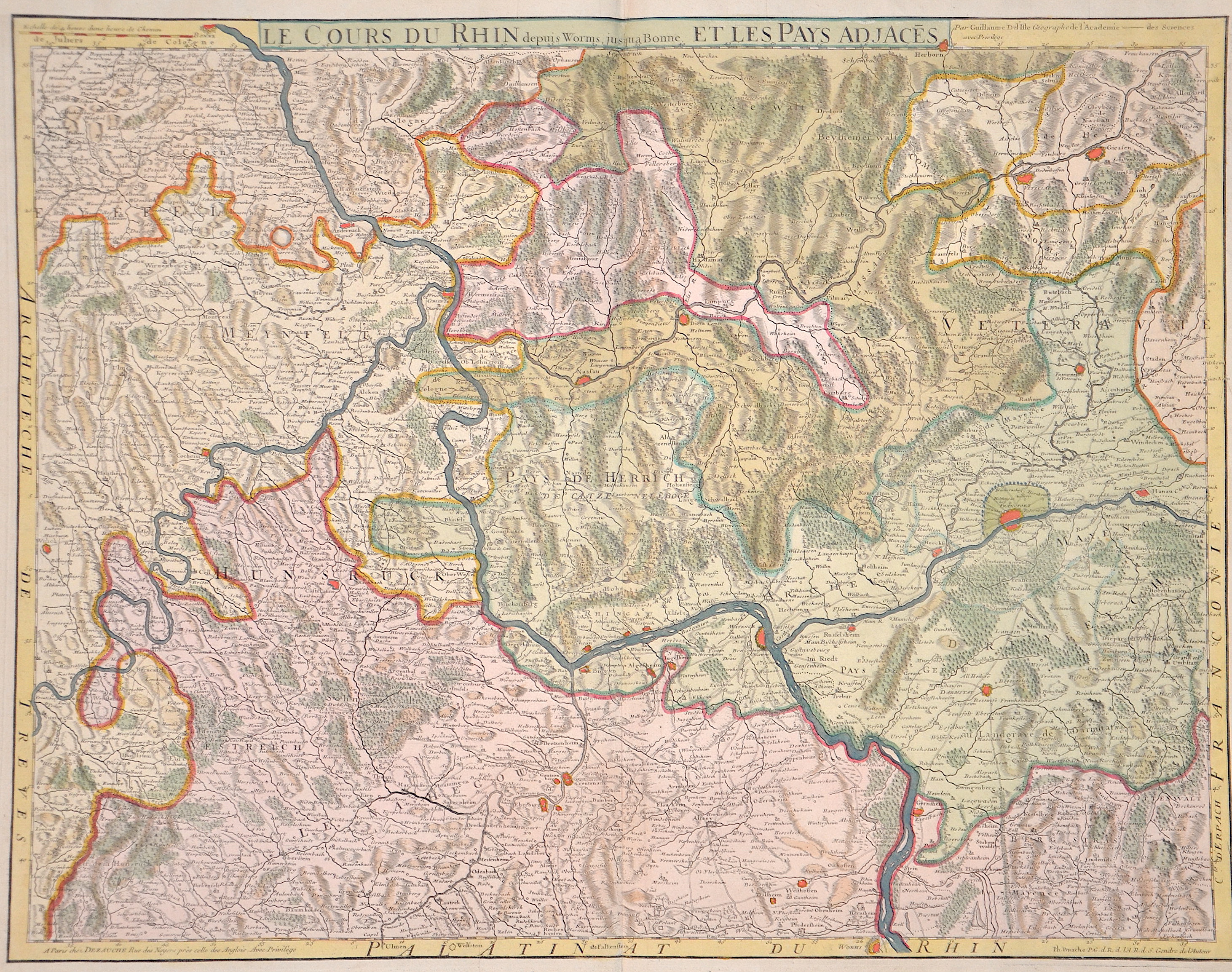
Le cours du Rhin depuis Worms jus´qua Bonne, et les Pays ad Jaces
| Article ID | EUD0488 |
Title | Le cours du Rhin depuis Worms jus´qua Bonne, et les Pays ad Jaces |
Map shows the course of the Rhine from Worms via Mainz, Koblenz, Andernach to Bonn. It also shows the Rhine-Lahn district with the towns of Nassau, Dietz, Limburg an der Lahn, Runkel, Villmar, Wetzlar, Gießen, etc. as well as the Main with Rüsselsheim, Frankfurt, Hanau and many more. | |
| Year | ca. 1788 |
Artist | Dezauche/de l´Isle, |
| Dimensions (cm) | 49 x 63 cm |
| Condition | Upper margin perfectly enlarged |
| Coloring | original colored |
| Technique | Copper print |
:
60.00 €
( A reproduction can be ordered individually on request. )