

Adina Sommer
Antique and Contemporary Art
Winzerer Str. 154
80797 München
telephone
+49 89 304714
business hours:
by appointment
Email
![]()


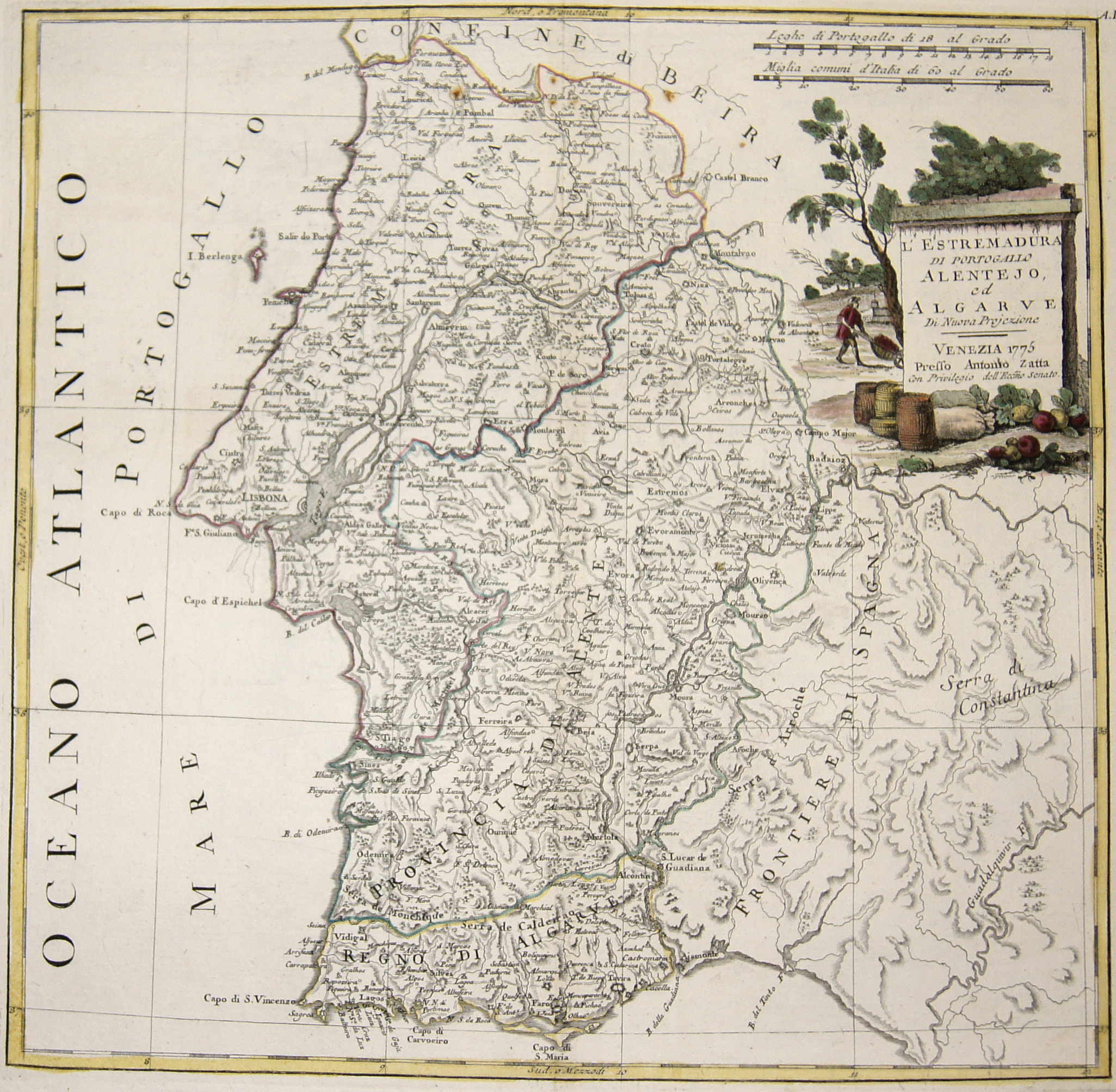
L’ Estremadura di Portogallo Alentejo, ed Algarve

| Article ID | EUE3736 |
Title | L’ Estremadura di Portogallo Alentejo, ed Algarve |
Description | Map shows the southern part of Portugal with the Algarve. |
| Year | dated 1775 |
Artist | Zatta (1757-1797) |
Antonio Zatta (1757 – 1797) was an Italian cartographer who was based in Venice. One of his major contributions include the Atlante Novissimo, a four volume atlas of the world in very high scientific quality. | |
Historical Description | The Kingdom of the Algarve was a nominal kingdom within the Kingdom of Portugal, located in the southernmost region of continental Portugal. In the 15th century, Prince Henry the Navigator based himself near Lagos and conducted various maritime expeditions which established the colonies that comprised the Portuguese Empire. It was also from Lagos that Gil Eanes set sail in 1434 to become the first seafarer to round Cape Bojador in West Africa. The voyages of discovery brought Lagos fame and fortune. Trade flourished and Lagos became the capital of the historical province of Algarve in 1577 and remained so until the year of the fabled 1755 Lisbon earthquake. In 1807, while Jean-Andoche Junot led the first Napoleonic invasion in the north of Portugal, the Algarve was occupied by Spanish troops under Manuel Godoy. Beginning in 1808, and after subsequent battles in various towns and villages, the region was the first to drive out the Spanish occupiers. During the Portuguese Civil War, several battles took place in the region, specially the battle of Cape St. Vicente and the battle of Sant’Ana, between liberals and Miguelites. Remexido was the guerrilla Algarvian leader that stood with the Miguelite absolutists for years, until he was executed in Faro. |
| Place of Publication | Venice |
| Dimensions (cm) | 32 x 33 |
| Condition | Perfect condition |
| Coloring | original colored |
| Technique | Copper print |