

Adina Sommer
Antique and Contemporary Art
Winzerer Str. 154
80797 München
telephone
+49 89 304714
business hours:
by appointment
Email
![]()


Iaponiae insulae descriptio
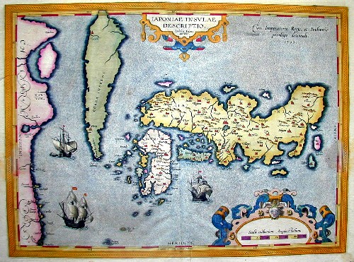
| Article ID | ASN275 |
Title | Iaponiae insulae descriptio |
Map of Japan. | |
| Year | ca. 1595 |
Artist | Ortelius |
| Place of Publication | Antwerp |
| Dimensions (cm) | 36 x 48 |
| Condition | Centerfold perfetly restored |
| Coloring | original colored |
| Technique | Copper print |
:
882.00 €
( A reproduction can be ordered individually on request. )