

Adina Sommer
Antique and Contemporary Art
Winzerer Str. 154
80797 München
telephone
+49 89 304714
business hours:
by appointment
Email
![]()


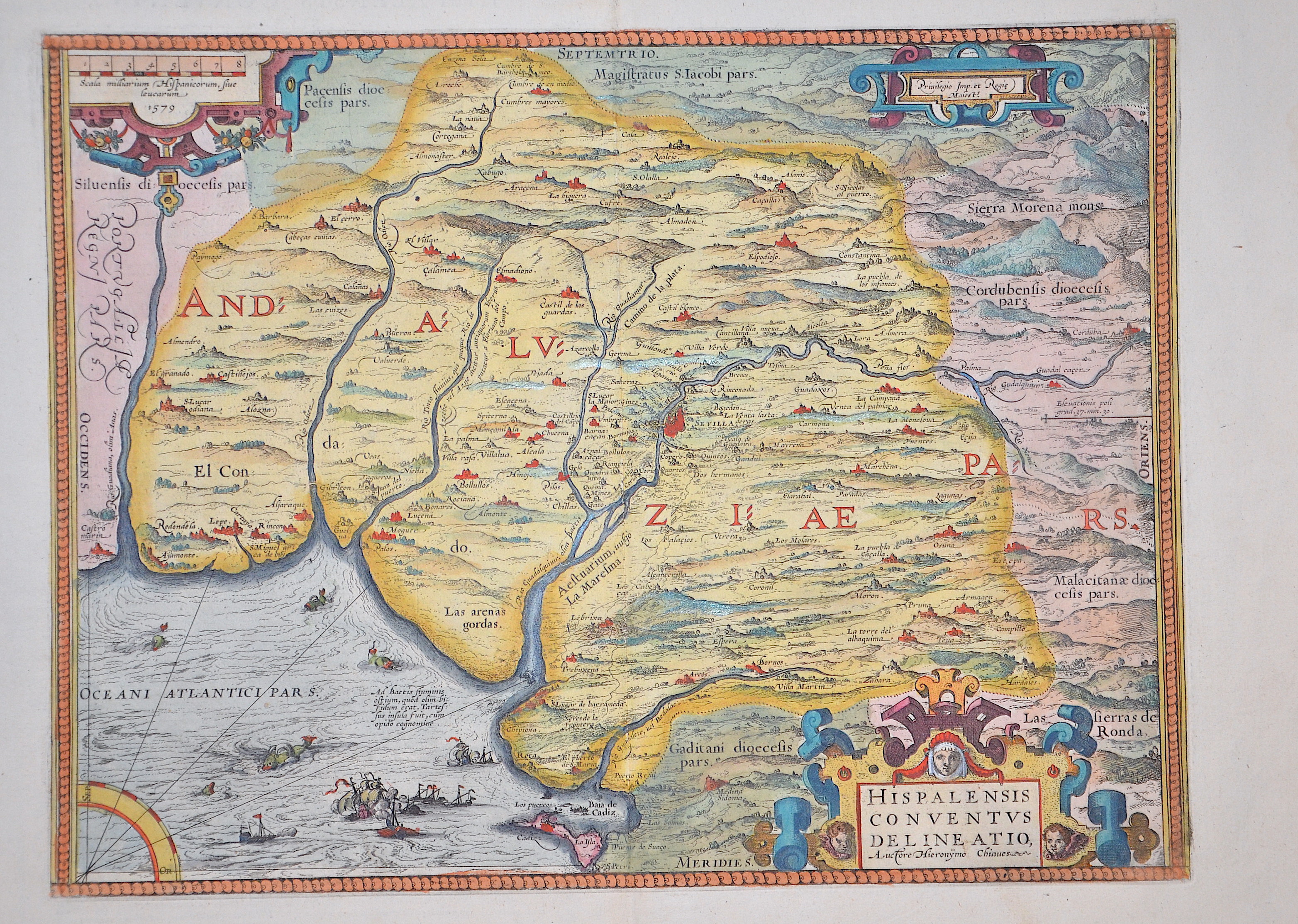
Hispalensis conventus delineatio, Auctore Hieronymo Chiaues.
| Article ID | EUE1789 |
Title | Hispalensis conventus delineatio, Auctore Hieronymo Chiaues. |
Map shows Andalusia with Seville, sea monsters, sailing ships, a compass rose and three cartouches. | |
| Year | dated 1579 |
Artist | Ortelius |
| Place of Publication | Antwerp |
| Dimensions (cm) | 34,5 x 45,5 cm |
| Condition | Perfect condition |
| Coloring | original colored |
| Technique | Copper print |
:
78.00 €
( A reproduction can be ordered individually on request. )