

Adina Sommer
Antique and Contemporary Art
Winzerer Str. 154
80797 München
telephone
+49 89 304714
business hours:
by appointment
Email
![]()


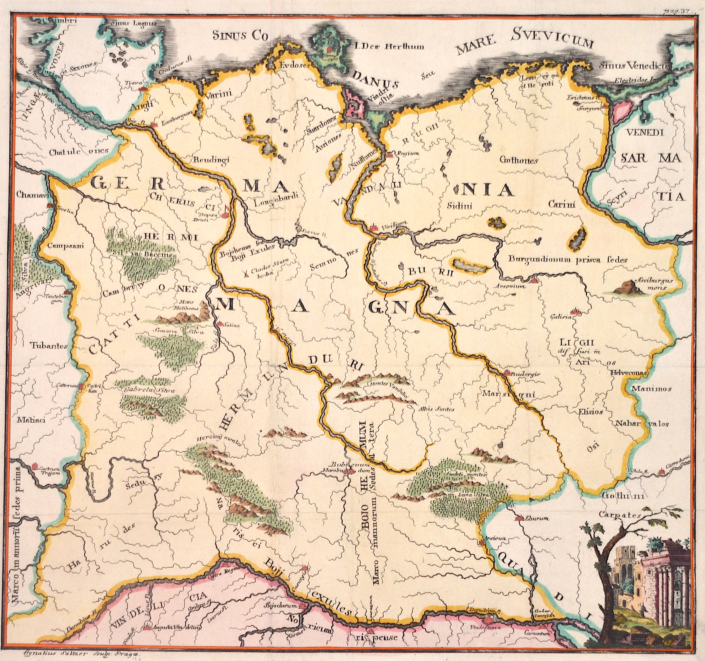
Germania Magna

| Article ID | EUD3650 |
Title | Germania Magna |
Description | Map depictsn the northern part of Germany with Poland and the river Donau. |
| Year | ca. 1700 |
Artist | Saltzer |
"Ignaz Salzer was a prominent Bohemian engraver of the second half of the 18th century, known for his detailed depictions of religious motifs, portraits of scholars, and town views. Together with his brothers, Johann and Karl, he contributed to the artistic landscape of Prague and was also active in bibliographic and artisanal projects." | |
Historical Description | The concept of Germany as a distinct region in central Europe can be traced to Roman commander Julius Caesar, who referred to the unconquered area east of the Rhine as Germania, thus distinguishing it from Gaul (France), which he had conquered. In the High Middle Ages, the regional dukes, princes and bishops gained power at the expense of the emperors. Martin Luther led the Protestant Reformationagainst the Catholic Church after 1517, as the northern states became Protestant, while the southern states remained Catholic. The two parts of the Holy Roman Empire clashed in the Thirty Years' War (1618–1648). 1648 marked the effective end of the Holy Roman Empire and the beginning of the modern nation-state system, with Germany divided into numerous independent states, such as Prussia, Bavaria and Saxony. |
| Place of Publication | Prag |
| Dimensions (cm) | 31 x 34 cm |
| Condition | Perfect condition |
| Coloring | colored |
| Technique | Copper print |