

Adina Sommer
Antique and Contemporary Art
Winzerer Str. 154
80797 München
telephone
+49 89 304714
business hours:
by appointment
Email
![]()


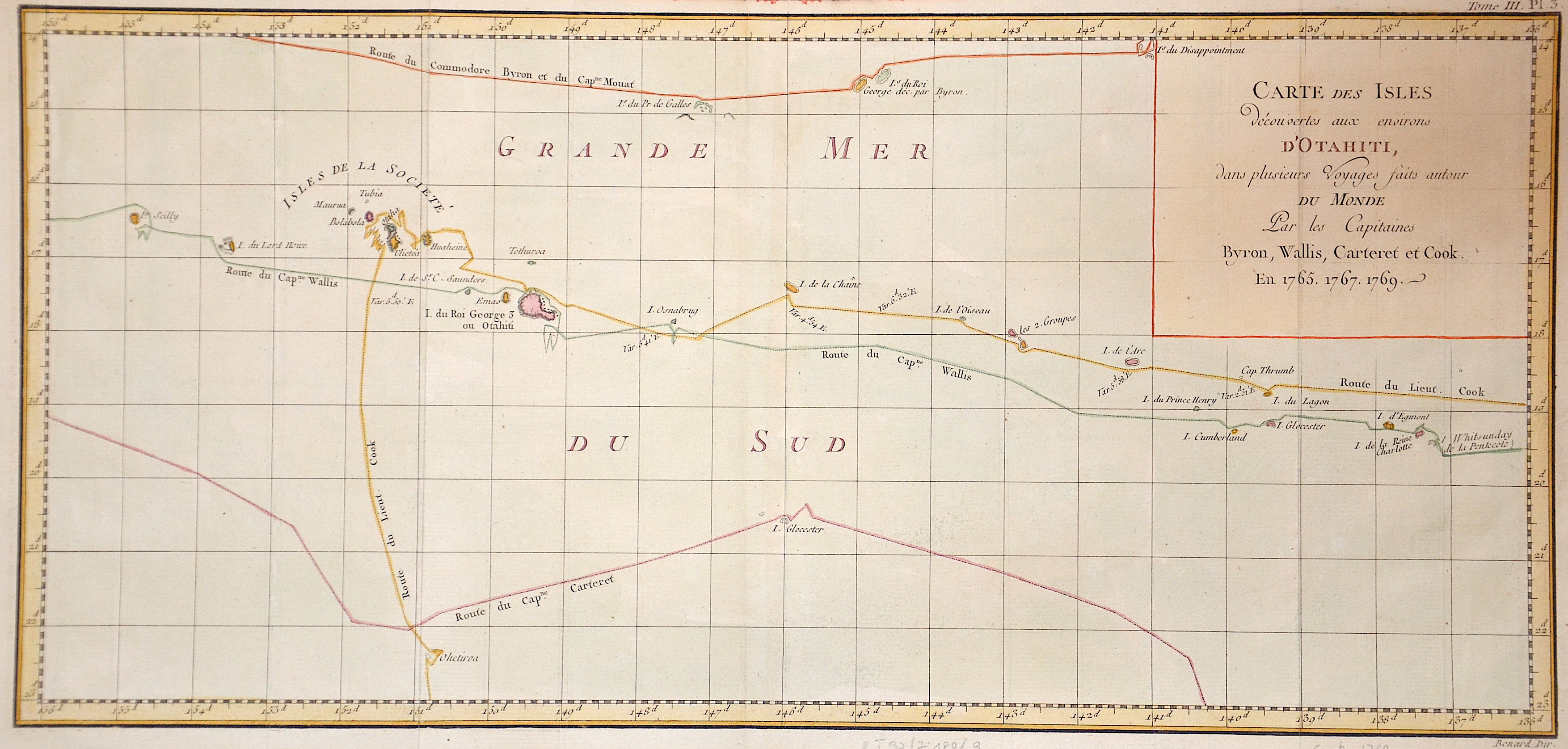
Carte des Isles d’Otahiti…

| Article ID | OZ173 |
Title | Carte des Isles d’Otahiti… |
Description | map of Tahiti, from the French edition of Capt. Cook's voyages. Society Islands |
| Year | ca. 1774-85 |
Artist | Benard (1734-1777) |
Robert Bénard (1734 in Paris – 1777) was an 18th-century French engraver. Specialized in the technique of engraving, Robert Bénard is mainly famous for having supplied a significant amount of plates to the Encyclopédie by Diderot & d'Alembert from 1751. Later, publisher Charles-Joseph Panckoucke reused many of his productions to illustrate the works of his catalog. | |
Historical Description | The Pacific Ocean is the largest and deepest of Earth's oceanic divisions. Though the peoples of Asia and Oceania have traveled the Pacific Ocean since prehistoric times, the eastern Pacific was first sighted by Europeans in the early 16th century when Spanish explorer Vasco Núñez de Balboa crossed the Isthmus of Panama in 1513 and discovered the great "southern sea" which he named Mar del Sur (in Spanish). In 1519, Portuguese explorer Ferdinand Magellan sailed the Pacific East to West on a Spanish expedition to the Spice Islands that would eventually result in the first world circumnavigation. Magellan called the ocean Pacífico (or "Pacific" meaning, "peaceful") because, after sailing through the stormy seas off Cape Horn, the expedition found calm waters. The ocean was often called the Sea of Magellan in his honor until the eighteenth century. |
| Place of Publication | Paris |
| Dimensions (cm) | 24 x 42,5 |
| Condition | Very good |
| Coloring | colored |
| Technique | Copper print |