

Adina Sommer
Antique and Contemporary Art
Winzerer Str. 154
80797 München
telephone
+49 89 304714
business hours:
by appointment
Email
![]()


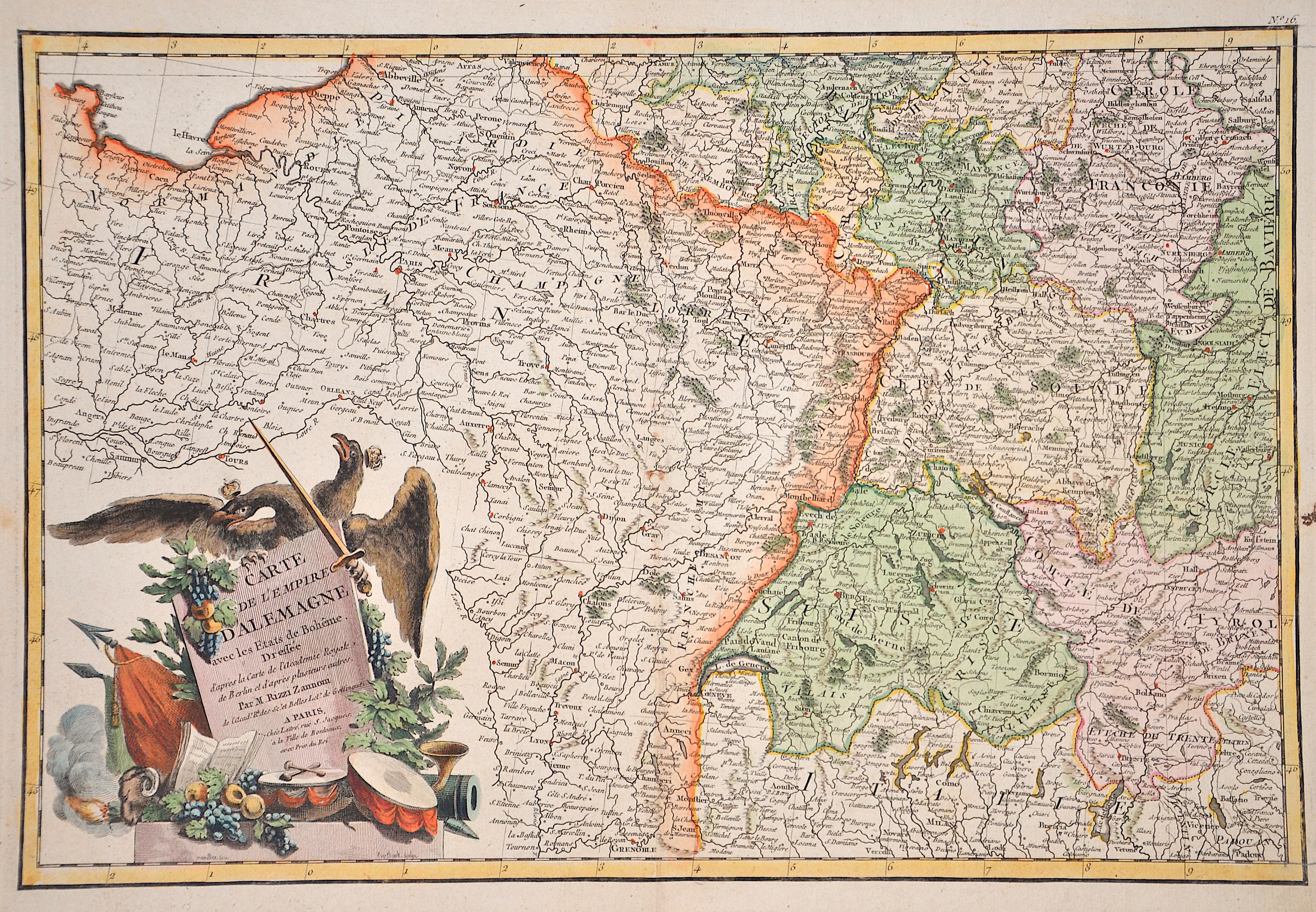
Carte de l’Empire d’Alemagne ave les Etats de Boheme.
| Article ID | EUD5198 |
Title | Carte de l’Empire d’Alemagne ave les Etats de Boheme. |
Map shows the south-western part of Germany (Rhineland-Palatinate, Baden-Württemberg, Swabia, Bavaria, Franconia), Switzerland and neighbouring France. Furthermore, a splendid title cartouche with the double-headed eagle. | |
| Year | ca. 1786 |
Artist | Rizzi-Zannoni-Remondini |
| Place of Publication | Paris |
| Dimensions (cm) | 30,5 x 45,5 cm |
| Condition | Perfect condition |
| Coloring | original colored |
| Technique | Copper print |
:
57.00 €
( A reproduction can be ordered individually on request. )