

Adina Sommer
Antique and Contemporary Art
Winzerer Str. 154
80797 München
telephone
+49 89 304714
business hours:
by appointment
Email
![]()


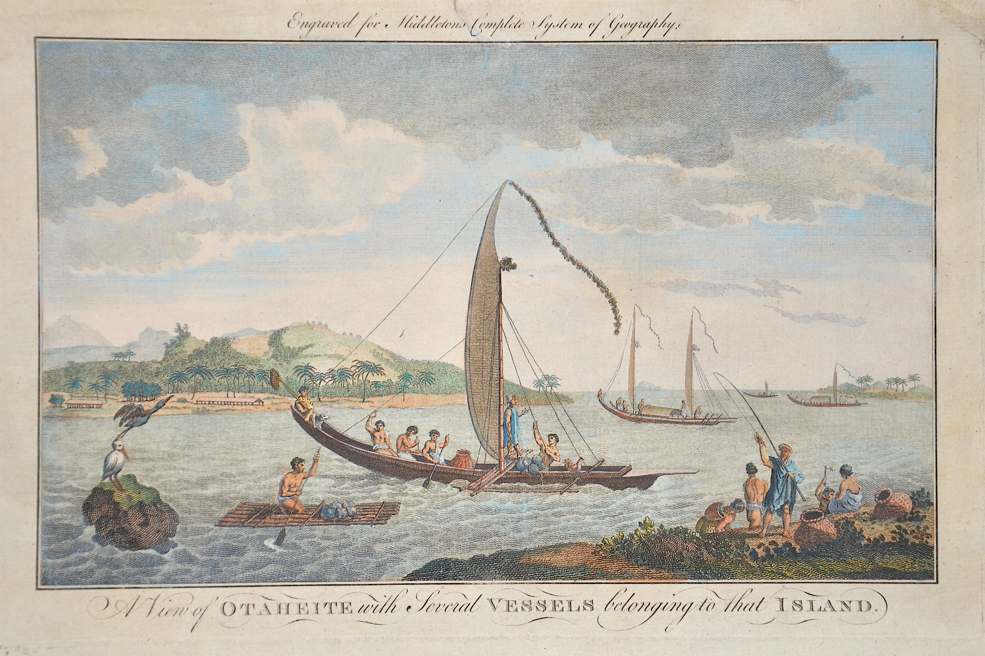
A View of Otaheite with Several Vessels belonging to that Island.
| Article ID | OZ0557 |
Title | A View of Otaheite with Several Vessels belonging to that Island. |
View of Tahiti with Native Boats in the Foreground (1772). Engraved for Charles Theodore Middleton's Complete System of Geography, 18th Century. Captain Cook's Second Voyage to the South Pole and Around the World. Undertaken and carried out on the orders of His Majesty, on His Majesty's Ships: 'The Resolution and Discovery', April 1772 to July 1775. | |
| Year | ca. 1777 |
Artist | Middletons |
| Place of Publication | London |
| Dimensions (cm) | 18,5 x 27 cm |
| Condition | Tear on upper margin perfectly restored |
| Coloring | original colored |
| Technique | Copper print |
:
27.00 €
( A reproduction can be ordered individually on request. )