

Adina Sommer
Antique and Contemporary Art
Winzerer Str. 154
80797 München
telephone
+49 89 304714
business hours:
by appointment
Email
![]()


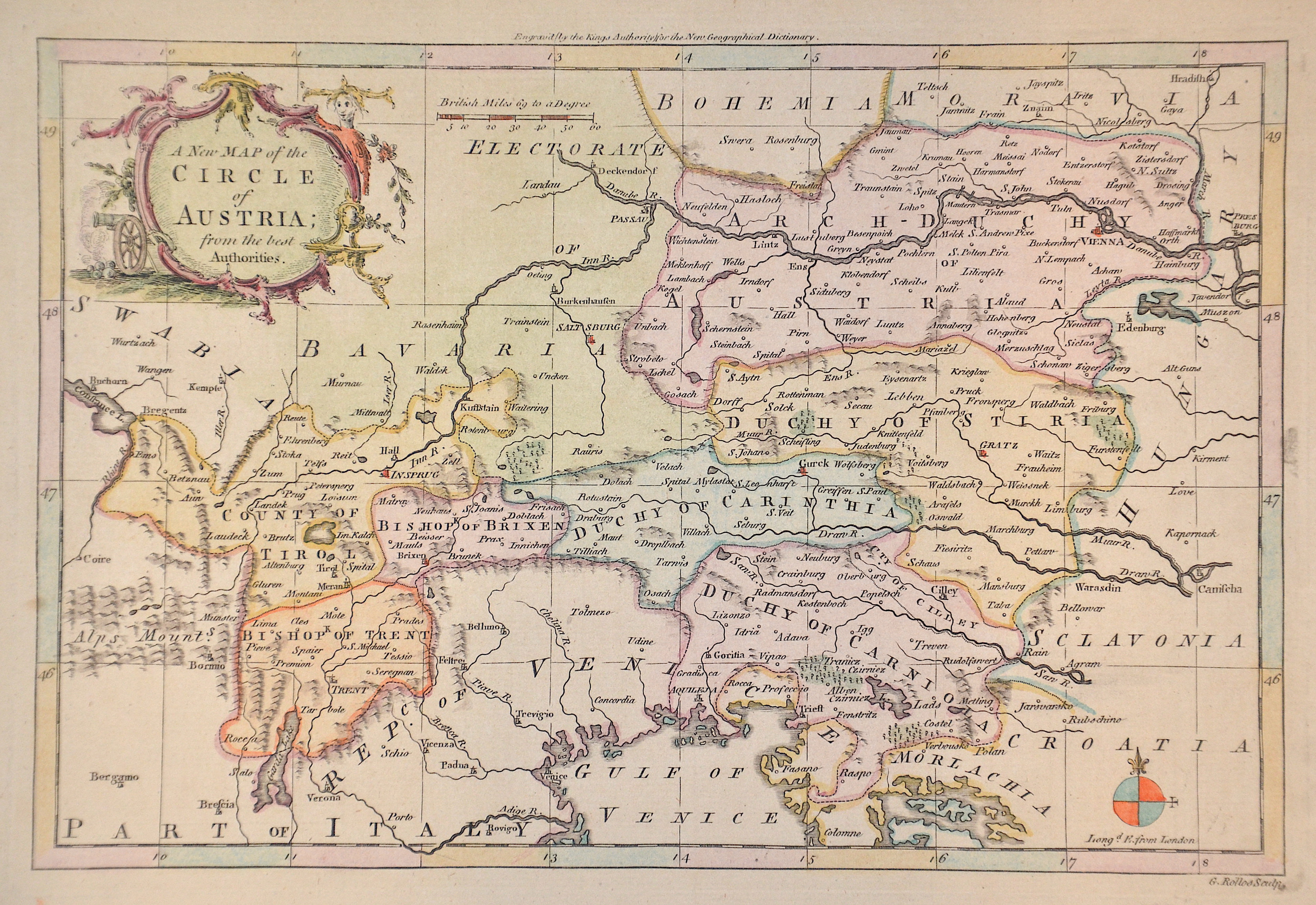
A New Map of the Circle of Austria
| Article ID | EUA4701 |
Title | A New Map of the Circle of Austria |
Map shows the province of Tyrol, Bressanone, Trento, Carinthia, Styria and the Archduchy of Austria. Cartographer G. Rollos. | |
| Year | ca. 1756 |
Artist | Barrow |
| Dimensions (cm) | 19,5 x 28,5 cm |
| Condition | Perfect |
| Coloring | colored |
| Technique | Copper print |
:
13.50 €
( A reproduction can be ordered individually on request. )