

Adina Sommer
Antique and Contemporary Art
Winzerer Str. 154
80797 München
telephone
+49 89 304714
business hours:
by appointment
Email
![]()


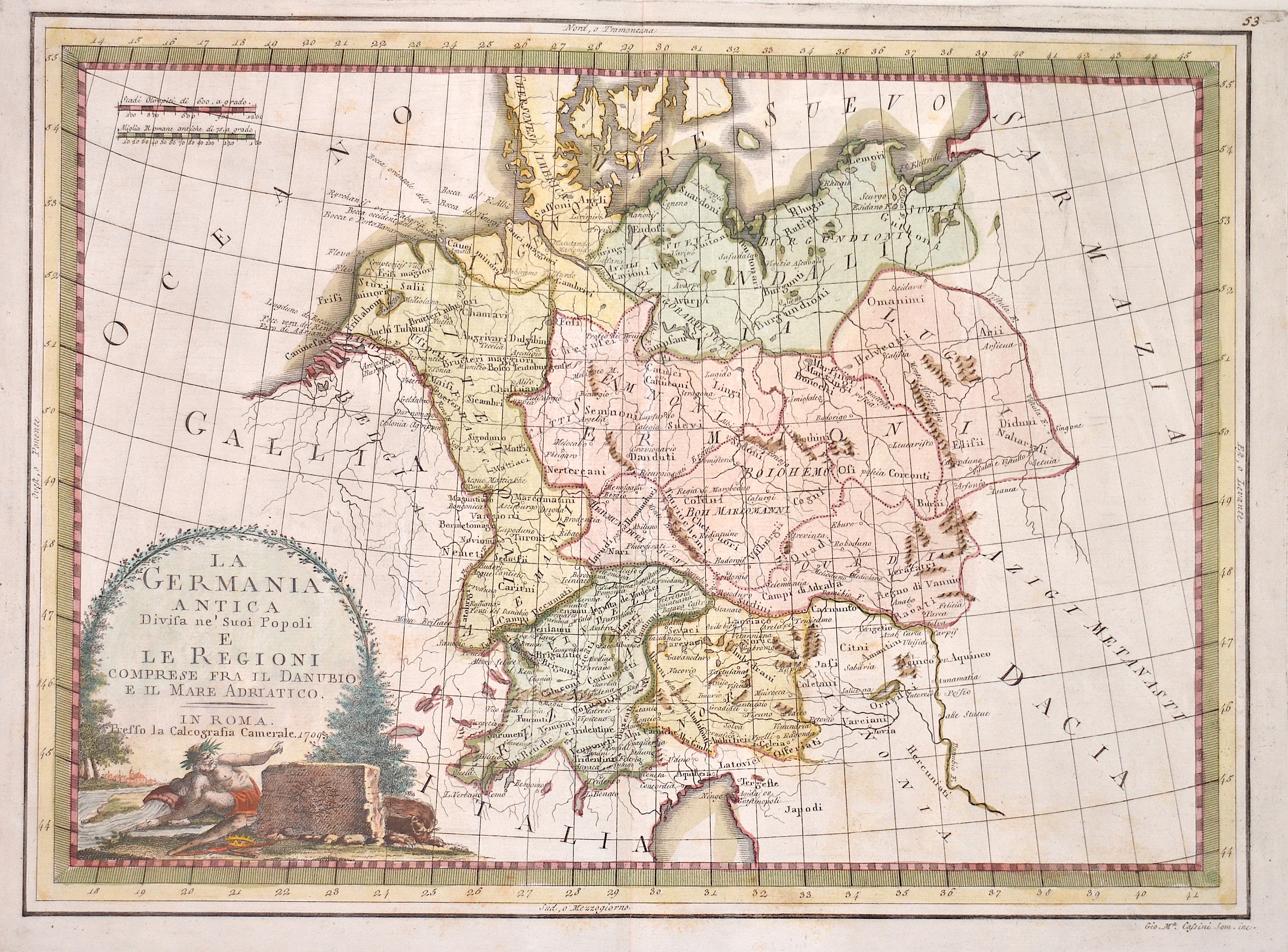
La Germania antica divisa ne´suoi popoli e le regioni…
| Article ID | EUD561 |
Title | La Germania antica divisa ne´suoi popoli e le regioni… |
Map shows the whole of Germany with Silesia, Bohemia, the Netherlands, Tyrol, Austria and a title cartouche. | |
| Year | dated 1709 |
Artist | Cassini |
| Place of Publication | Rome |
| Dimensions (cm) | 35 x 48 cm |
| Condition | Perfect condition |
| Coloring | original colored |
| Technique | Copper print |
:
31.50 €
( A reproduction can be ordered individually on request. )