

Adina Sommer
Antique and Contemporary Art
Winzerer Str. 154
80797 München
telephone
+49 89 304714
business hours:
by appointment
Email
![]()


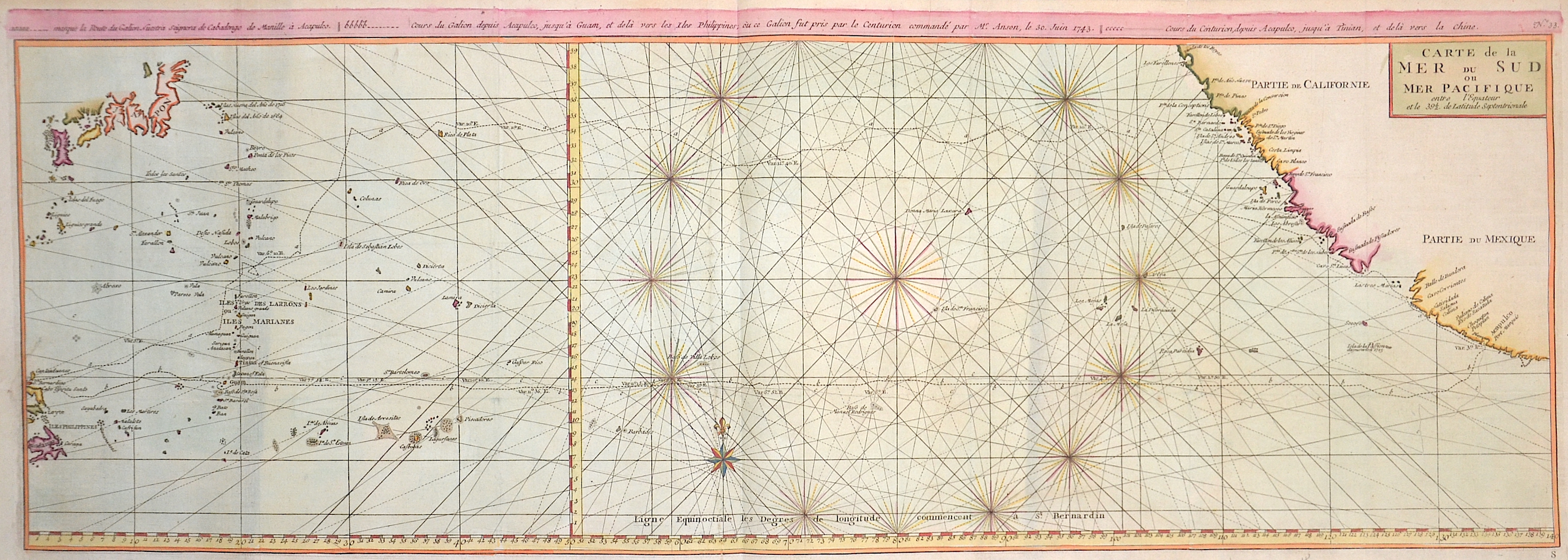
Carte de la Mer du Sud…
| Article ID | SE211 |
Title | Carte de la Mer du Sud… |
Chart of the northern Pacific Ocean with Japan, the Philippines, California and Mexico with the city Acapulco de Juárezu. | |
| Year | ca. 1748 |
Artist | Anson |
| Place of Publication | Paris |
| Dimensions (cm) | 31,5 x 86,5 cm |
| Condition | Very good |
| Coloring | colored |
| Technique | Copper print |
:
87.00 €
( A reproduction can be ordered individually on request. )