

Adina Sommer
Antique and Contemporary Art
Winzerer Str. 154
80797 München
telephone
+49 89 304714
business hours:
by appointment
Email
![]()


Asia.
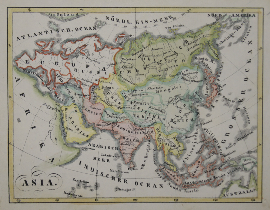
| Article ID | ASX1103 |
Title | Asia. |
Map shows total Asia with Asia minor, India, China and Southeast Asia. | |
| Year | ca. 1810 |
Artist | Anonymus |
| Place of Publication | Germany |
| Dimensions (cm) | 12,5 x 16 |
| Condition | Very good, printed on two sheets, joined together |
| Coloring | original colored |
| Technique | Lithography |
:
13.50 €
( A reproduction can be ordered individually on request. )