

Adina Sommer
Antique and Contemporary Art
Winzerer Str. 154
80797 München
telephone
+49 89 304714
business hours:
by appointment
Email
![]()


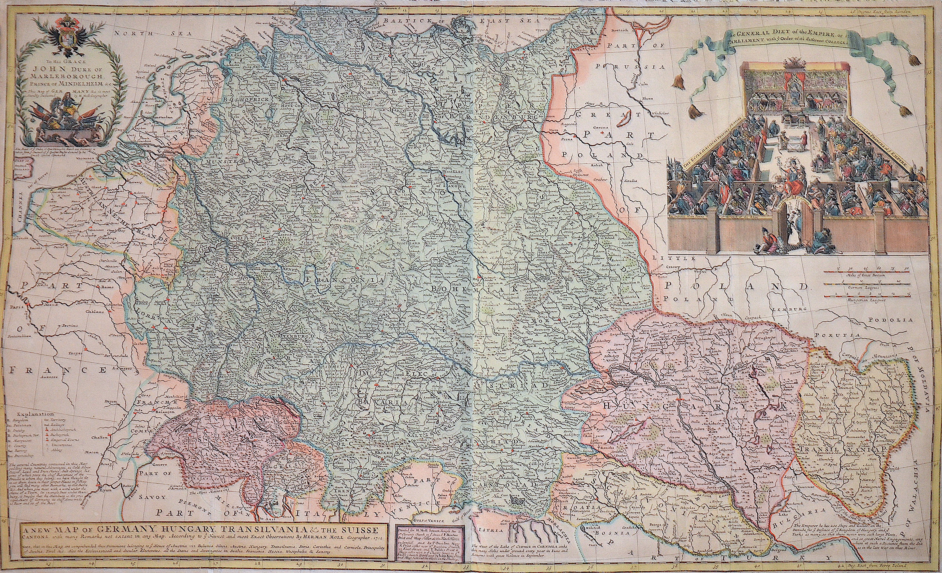
A new map of Germany. Hungary. Transivania and the Suisse Cantons……..
| Article ID | EUD1662 |
Title | A new map of Germany. Hungary. Transivania and the Suisse Cantons…….. |
Map shows total Germany with Hungary, Transilvania, Slavonia and Suisse, representation of a court of law. | |
| Year | dated 1712 |
Artist | Moll |
| Place of Publication | London |
| Dimensions (cm) | 60,5 x 99 cm |
| Condition | Some folds partly restored |
| Coloring | original colored |
| Technique | Copper print |
:
189.00 €
( A reproduction can be ordered individually on request. )